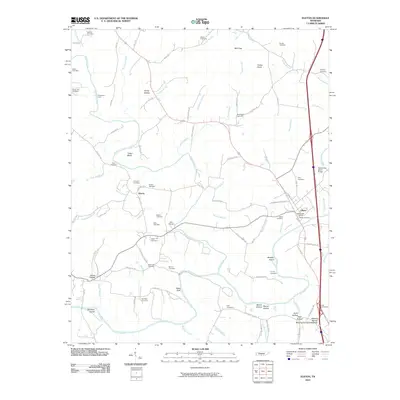
2010 Map of Elkton
USGS Topo · Published 2010About this map
Elkton and the surrounding river bottoms of southern Giles County define this landscape along the Alabama border. The Elk River winds through the southern portion of the quadrangle, joined by tributaries such as Richland Creek and Silver Creek. Historically significant river crossings and terrain features are noted, including Sugartree Ford and Ward Bluff, while Beasley Island and Whitfield Island sit within the river's main channel.
Find a feature on this map
94 named features on this map. Tap any name to fly to it.
Don’t see what you’re looking for? This feature index may not catch every label — zoom into the map to look around manually.
Map Details
Editions of this 2010 Elkton Map
This is the sole edition of this map. No revisions or reprints were ever made.
Other maps of this area

1888 · Huntsville
USGS Topo · 1:125,000

1892 · Huntsville
USGS Topo · 1:125,000

1936 · Aspen Hill
USGS Topo · 1:24,000

1936 · Elkmont
USGS Topo · 1:24,000

1936 · Ardmore
USGS Topo · 1:24,000

1936 · Pulaski
USGS Topo · 1:24,000

1936 · Tarpley
USGS Topo · 1:24,000

1936 · Elkton
USGS Topo · 1:24,000

1936 · Frankewing
USGS Topo · 1:24,000

1936 · Dellrose
USGS Topo · 1:24,000