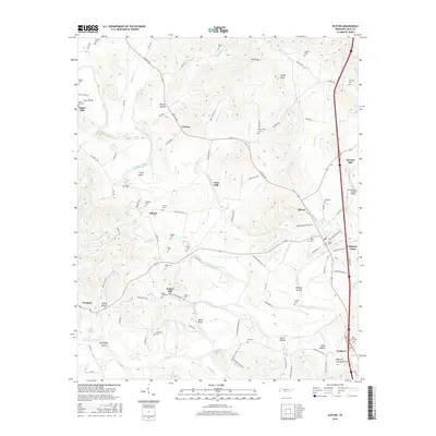
2016 Map of Elkton
USGS Topo · Published 2016About this map
Richland Creek and the winding Elk River define the topography of this southern Tennessee landscape, where small rural communities are connected by historic pikes and river crossings. The map documents several small settlements, including Elkton, Aspen Hill, and Ardmore, along with industry-linked locales such as Vinta Mill and Morrell Mill. Significant for genealogists, the survey identifies numerous family and community burial grounds, from Trotter Cem and Nelson Cem to the Elliot Cemeteries near the southern border. The landscape is marked by distinctive terrain features like Ward Bluff and James Hollow, while Persimmon Island Bridge provides a key crossing over the river. This documentation of the river-and-road network provides a detailed view of the rural Giles County infrastructure and settlement patterns in the early 21st century.
Find a feature on this map
116 named features on this map. Tap any name to fly to it.
Don’t see what you’re looking for? This feature index may not catch every label — zoom into the map to look around manually.
Map Details
Editions of this 2016 Elkton Map
This is the sole edition of this map. No revisions or reprints were ever made.
Other maps of this area

1888 · Huntsville
USGS Topo · 1:125,000

1892 · Huntsville
USGS Topo · 1:125,000

1936 · Aspen Hill
USGS Topo · 1:24,000

1936 · Elkmont
USGS Topo · 1:24,000

1936 · Ardmore
USGS Topo · 1:24,000

1936 · Pulaski
USGS Topo · 1:24,000

1936 · Tarpley
USGS Topo · 1:24,000

1936 · Elkton
USGS Topo · 1:24,000

1936 · Frankewing
USGS Topo · 1:24,000

1936 · Dellrose
USGS Topo · 1:24,000