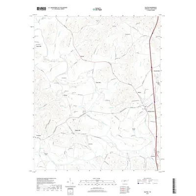
2019 Map of Elkton
USGS Topo · Published 2019About this map
The Richland Creek and Elk River confluence defines this part of Giles County, where the landscape transitions from the ridges of Turkey Knob and Wolf Gap to the fertile river bottoms. The area's agricultural and industrial heritage is evident in the naming of former mill sites like Vinta Mill and Morrell Mill, and the small clusters of community life at Liberty, Conway, and Aspen Hill. Numerous family burial grounds, such as Potts Cem, Trotter Cem, and Neely Cem, are scattered across the terrain, reflecting deep generational ties to the land.
Find a feature on this map
116 named features on this map. Tap any name to fly to it.
Don’t see what you’re looking for? This feature index may not catch every label — zoom into the map to look around manually.
Map Details
Editions of this 2019 Elkton Map
This is the sole edition of this map. No revisions or reprints were ever made.
Other maps of this area

1888 · Huntsville
USGS Topo · 1:125,000

1892 · Huntsville
USGS Topo · 1:125,000

1936 · Aspen Hill
USGS Topo · 1:24,000

1936 · Elkmont
USGS Topo · 1:24,000

1936 · Ardmore
USGS Topo · 1:24,000

1936 · Pulaski
USGS Topo · 1:24,000

1936 · Tarpley
USGS Topo · 1:24,000

1936 · Elkton
USGS Topo · 1:24,000

1936 · Frankewing
USGS Topo · 1:24,000

1936 · Dellrose
USGS Topo · 1:24,000