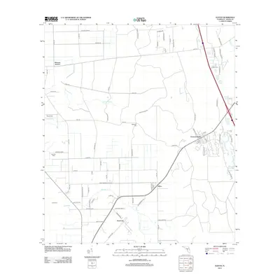
2012 Map of Elkton
USGS Topo · Published 2012About this map
Vermont Heights and Elkton serve as the primary focal points of this northeastern Florida landscape, where agricultural tradition meets late twentieth-century residential expansion. The area is defined by its distinct hamlets and rural junctions, including Molasses Junction and Armstrong, which are connected by a network of local routes like Co Rd 13A and the historical corridor of the Fec railroad. The presence of St Ambrose Church and the nearby St Ambrose Cem provides a significant touchstone for genealogical research in this part of Saint Johns County.
Find a feature on this map
77 named features on this map. Tap any name to fly to it.
Don’t see what you’re looking for? This feature index may not catch every label — zoom into the map to look around manually.
Map Details
Editions of this 2012 Elkton Map
This is the sole edition of this map. No revisions or reprints were ever made.
Other maps of this area

1912 · Palatka
USGS Topo · 1:48,000

1915 · Palatka
USGS Topo · 1:62,500

1937 · Bakersville
USGS Topo · 1:24,000

1937 · Elkton
USGS Topo · 1:24,000

1937 · Crescent Beach
USGS Topo · 1:24,000

1937 · Dinner Island
USGS Topo · 1:48,000

1937 · St. Augustine
USGS Topo · 1:24,000

1943 · St. Augustine
USGS Topo · 1:62,500

1943 · Dinner Island
USGS Topo · 1:62,500

1944 · Dinner Island
USGS Topo · 1:62,500