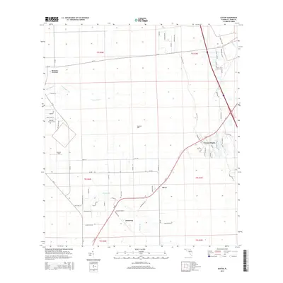
2015 Map of Elkton
USGS Topo · Published 2015About this map
St. Johns County's agricultural and rural residential character is defined by the crossroads and drainage networks south of St. Augustine in 2015. The settlement at Elkton serves as a central point along SR-207, which cuts diagonally through the landscape toward Vermont Heights. This area is marked by unique aviation infrastructure, including Bartram Farms Air Park and Byrd Air Field, suggesting a landscape where local transport and rural estates coexist.
Find a feature on this map
67 named features on this map. Tap any name to fly to it.
Don’t see what you’re looking for? This feature index may not catch every label — zoom into the map to look around manually.
Map Details
Editions of this 2015 Elkton Map
This is the sole edition of this map. No revisions or reprints were ever made.
Other maps of this area
1912 · Palatka
USGS Topo · 1:48,000
1915 · Palatka
USGS Topo · 1:62,500
1937 · Bakersville
USGS Topo · 1:24,000
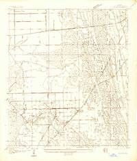
1937 · Elkton
USGS Topo · 1:24,000
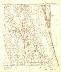
1937 · Crescent Beach
USGS Topo · 1:24,000
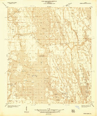
1937 · Dinner Island
USGS Topo · 1:48,000
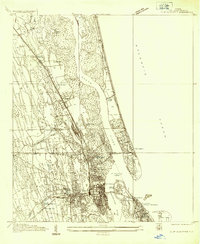
1937 · St. Augustine
USGS Topo · 1:24,000
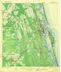
1943 · St. Augustine
USGS Topo · 1:62,500
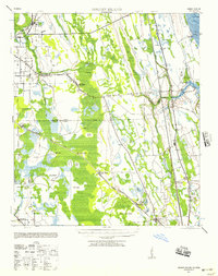
1943 · Dinner Island
USGS Topo · 1:62,500
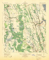
1944 · Dinner Island
USGS Topo · 1:62,500