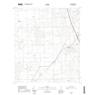
2021 Map of Elkton
USGS Topo · Published 2021About this map
Elkton and the surrounding agricultural landscape of Saint Johns County are defined by a network of drainage and historic transport corridors in this contemporary survey. The settlement of Vermont Heights sits at the intersection of local residential development and the natural expanse of Cowan Swamp, while the southern reaches of the map are anchored by the community of Armstrong. These areas are linked by the Palatka To St Augustine Corridor Trail, a significant recreational path following a legacy transportation route across the low-lying terrain.
Find a feature on this map
68 named features on this map. Tap any name to fly to it.
Don’t see what you’re looking for? This feature index may not catch every label — zoom into the map to look around manually.
Map Details
Editions of this 2021 Elkton Map
This is the sole edition of this map. No revisions or reprints were ever made.
Other maps of this area

1912 · Palatka
USGS Topo · 1:48,000

1915 · Palatka
USGS Topo · 1:62,500

1937 · Bakersville
USGS Topo · 1:24,000

1937 · Elkton
USGS Topo · 1:24,000

1937 · Crescent Beach
USGS Topo · 1:24,000

1937 · Dinner Island
USGS Topo · 1:48,000

1937 · St. Augustine
USGS Topo · 1:24,000

1943 · St. Augustine
USGS Topo · 1:62,500

1943 · Dinner Island
USGS Topo · 1:62,500

1944 · Dinner Island
USGS Topo · 1:62,500