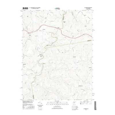
2016 Map of Ellamore
USGS Topo · Published 2016About this map
The Middle Fork River winds through this West Virginia landscape, crossing the borders of Upshur, Barbour, and Randolph counties. This mountainous area is defined by a series of small, dispersed settlements such as Ellamore, Kingsville, and Pumpkintown that are connected by a network of rural routes and river crossings. Historically significant locations for genealogists include the Mount Zion Cem near Vegan and the Durrett Cem located south of Yokum.
Find a feature on this map
105 named features on this map. Tap any name to fly to it.
Don’t see what you’re looking for? This feature index may not catch every label — zoom into the map to look around manually.
Map Details
Editions of this 2016 Ellamore Map
This is the sole edition of this map. No revisions or reprints were ever made.
Other maps of this area

1886 · St. George
USGS Topo · 1:125,000

1889 · Beverly
USGS Topo · 1:125,000

1891 · St. George
USGS Topo · 1:125,000

1892 · Beverly
USGS Topo · 1:125,000

1893 · Buckhannon
USGS Topo · 1:125,000

1896 · Buckhannon
USGS Topo · 1:125,000

1897 · Buckhannon
USGS Topo · 1:125,000

1904 · Philippi
USGS Topo · 1:62,500

1907 · Belington
USGS Topo · 1:62,500

1909 · Elkins
USGS Topo · 1:62,500