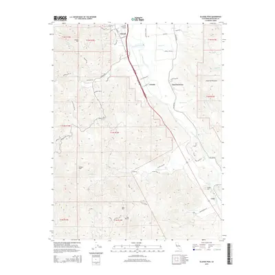
2015 Map of Elledge Peak
USGS Topo · Published 2015About this map
Russian River drainage patterns define the geography of Mendocino County south of Ukiah, where agricultural valleys meet the rising slopes of the Mayacmas Mountains. This 2015 dataset captures the transition from the city’s southern fringe and the Ukiah Municipal Airport to the more rural expanses of El Roble and the Ukiah Rancheria. The landscape is etched by numerous tributaries including Howell Cr, Robinson Cr, and McNab Cr, which have carved out the varied topography between Cleland Mtn and Elledge Peak. Further south, the settlement of Largo sits near Knight Hill, illustrating the enduring rail and road corridor that follows the river's path. Private ranch lands are reflected in names like Nelson Ranch Rd and Bus McGall, providing a modern record of land use and family-named landmarks in the Ukiah Valley.
Find a feature on this map
59 named features on this map. Tap any name to fly to it.
Don’t see what you’re looking for? This feature index may not catch every label — zoom into the map to look around manually.
Map Details
Editions of this 2015 Elledge Peak Map
This is the sole edition of this map. No revisions or reprints were ever made.
Other maps of this area

1920 · Ukiah
USGS Topo · 1:62,500

1938 · Hopland
USGS Topo · 1:62,500

1943 · Boonville
USGS Topo · 1:62,500

1943 · Hopland
USGS Topo · 1:62,500

1943 · Ornbaun
USGS Topo · 1:62,500

1944 · Ukiah
USGS Topo · 1:62,500

1944 · Ornbaun
USGS Topo · 1:62,500

1944 · Hopland
USGS Topo · 1:62,500

1947 · Santa Rosa
USGS Topo · 1:250,000

1949 · Santa Rosa
USGS Topo · 1:250,000