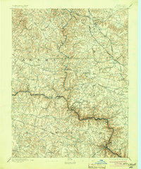
1894 Map of Ellicott
USGS Topo · Published 1904About this map
The Patapsco River carves a deep, winding valley through this landscape, serving as the primary boundary between Carroll, Baltimore, and Howard counties. In the decade following the 1890 survey, the region shows a transition from rural milling sites to railroad-connected communities. The Baltimore and Ohio Railroad follows the river's path, connecting riverside settlements, while the Western Maryland Railroad serves northern villages like Glyndon and Reisterstown.
Find a feature on this map
83 named features on this map. Tap any name to fly to it.
Don’t see what you’re looking for? This feature index may not catch every label — zoom into the map to look around manually.
Map Details
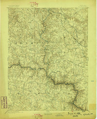
Editions of this 1894 Ellicott Map
3 editions found
Other maps of this area

1892 · Laurel
USGS Topo · 1:62,500

1892 · Ellicott
USGS Topo · 1:62,500

1893 · Frederick
USGS Topo · 1:125,000

1894 · Ellicott
USGS Topo · 1:62,500

1894 · Laurel
USGS Topo · 1:62,500

1894 · Baltimore
USGS Topo · 1:62,500

1894 · Frederick
USGS Topo · 1:125,000

1894 · Relay
USGS Topo · 1:62,500

1897 · Laurel
USGS Topo · 1:62,500

1899 · Baltimore
USGS Topo · 1:62,500