
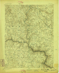
1894 Map of Ellicott
USGS Topo · Published 1894About this map
St. Charles College and the surrounding landscape of the Patapsco River valley define this late-nineteenth-century survey of the Maryland interior. The region is marked by a complex network of turnpikes and rail lines, including the Western Maryland Railroad and the Baltimore and Ohio Railroad, which served the growing settlements of Reisterstown, Owings Mills, and Glyndon. The presence of numerous Quarries and Quarry sites near Granite and Woodstock illustrates the industrial importance of local stone extraction during this era of expansion.
Find a feature on this map
71 named features on this map. Tap any name to fly to it.
Don’t see what you’re looking for? This feature index may not catch every label — zoom into the map to look around manually.
Map Details
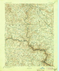
Editions of this 1894 Ellicott Map
3 editions found
Other maps of this area

1892 · Laurel
USGS Topo · 1:62,500

1892 · Ellicott
USGS Topo · 1:62,500

1893 · Frederick
USGS Topo · 1:125,000

1894 · Laurel
USGS Topo · 1:62,500

1894 · Baltimore
USGS Topo · 1:62,500

1894 · Frederick
USGS Topo · 1:125,000

1894 · Relay
USGS Topo · 1:62,500

1897 · Laurel
USGS Topo · 1:62,500

1899 · Baltimore
USGS Topo · 1:62,500

1900 · Parkton
USGS Topo · 1:62,500