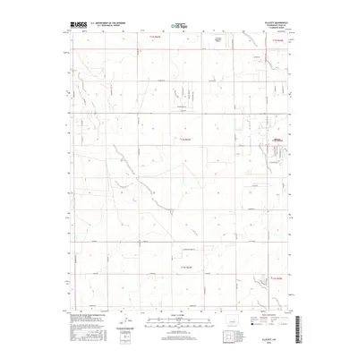
2016 Map of Ellicott
USGS Topo · Published 2016About this map
The settlement of Ellicott sits at a crossroads in the high plains of El Paso County, where residential development meets vast agricultural sections. This 2016 survey shows the community's expansion through a network of named local roads such as McDaniel Rd, Paddock Rd, and S Logging Rd. The landscape is characterized by the ephemeral drainage of Black Squirrel Cr, which cuts through the central terrain. Aviation activity is a notable feature of this rural corridor, anchored by the Colorado Spring East Airport and the specialized Flying View Runway nearby. The map detail reflects the region's transition from open ranch land to structured rural lots, visible in the clusters of newer thoroughfares like Brass Eagle Ln and Silver Bonnet Pt located just east of the primary north-south artery, Ellicott Hwy.
Find a feature on this map
53 named features on this map. Tap any name to fly to it.
Don’t see what you’re looking for? This feature index may not catch every label — zoom into the map to look around manually.
Map Details
Editions of this 2016 Ellicott Map
This is the sole edition of this map. No revisions or reprints were ever made.
Other maps of this area
1893 · Big Springs
USGS Topo · 1:125,000
1893 · Colorado Springs
USGS Topo · 1:125,000
1909 · Colorado Springs
USGS Topo · 1:125,000
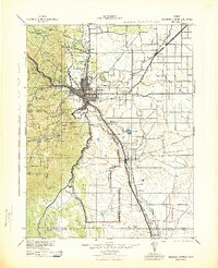
1942 · Colorado Springs
USGS Topo · 1:125,000
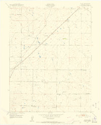
1948 · Falcon
USGS Topo · 1:24,000
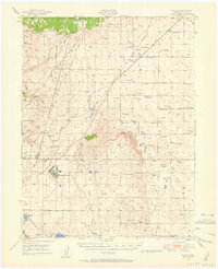
1948 · Falcon
USGS Topo · 1:62,500
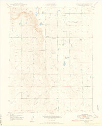
1949 · Corral Bluffs
USGS Topo · 1:24,000
1950 · Fountain NE
USGS Topo · 1:24,000
1951 · Falcon
USGS Topo · 1:62,500
1951 · Fountain
USGS Topo · 1:62,500