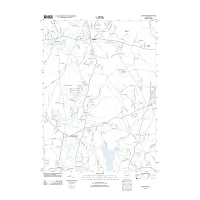
2012 Map of Ellington
USGS Topo · Published 2012About this map
Somers and Ellington anchor this early 21st-century landscape, where residential development and aviation infrastructure sit alongside traditional landmarks of north-central Connecticut. The map highlights the transition from the lowlands near the Scantic River to the prominent elevations of Soapstone Mountain and Bald Mountain. Local history is preserved in several burial grounds, including the North Cem and the lakeside Crystal Lake Cem.
Find a feature on this map
213 named features on this map. Tap any name to fly to it.
Don’t see what you’re looking for? This feature index may not catch every label — zoom into the map to look around manually.
Map Details
Editions of this 2012 Ellington Map
This is the sole edition of this map. No revisions or reprints were ever made.
Other maps of this area

1886 · Springfield
USGS Topo · 1:62,500

1887 · Palmer
USGS Topo · 1:62,500

1889 · Springfield
USGS Topo · 1:62,500

1889 · Palmer
USGS Topo · 1:62,500

1892 · Hartford
USGS Topo · 1:62,500

1892 · Tolland
USGS Topo · 1:62,500

1893 · Springfield
USGS Topo · 1:62,500

1893 · Palmer
USGS Topo · 1:62,500

1895 · Springfield
USGS Topo · 1:62,500

1896 · Holyoke
USGS Topo · 1:125,000