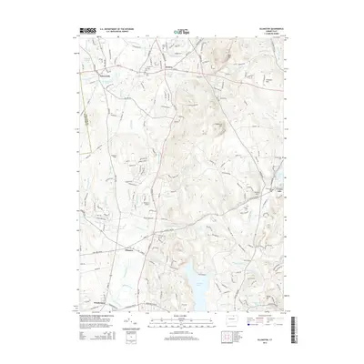
2015 Map of Ellington
USGS Topo · Published 2015About this map
The town of Ellington and its surrounding countryside are captured here in a 2015 study, reflecting a landscape defined by its network of brooks and the prominent ridges of the Eastern Highlands. The terrain is anchored by summits such as Soapstone Mtn and Chestnut Mtn, which overlook a series of suburban and rural clusters including Somersville, Somers, and Windermere. This period shows the established residential patterns along corridors like Main ST and Crystal Lake RD, while preserving large tracts of open space and water bodies like Shenipsit Lake.
Find a feature on this map
61 named features on this map. Tap any name to fly to it.
Don’t see what you’re looking for? This feature index may not catch every label — zoom into the map to look around manually.
Map Details
Editions of this 2015 Ellington Map
This is the sole edition of this map. No revisions or reprints were ever made.
Other maps of this area

1886 · Springfield
USGS Topo · 1:62,500

1887 · Palmer
USGS Topo · 1:62,500

1889 · Springfield
USGS Topo · 1:62,500

1889 · Palmer
USGS Topo · 1:62,500

1892 · Hartford
USGS Topo · 1:62,500

1892 · Tolland
USGS Topo · 1:62,500

1893 · Springfield
USGS Topo · 1:62,500

1893 · Palmer
USGS Topo · 1:62,500

1895 · Springfield
USGS Topo · 1:62,500

1896 · Holyoke
USGS Topo · 1:125,000