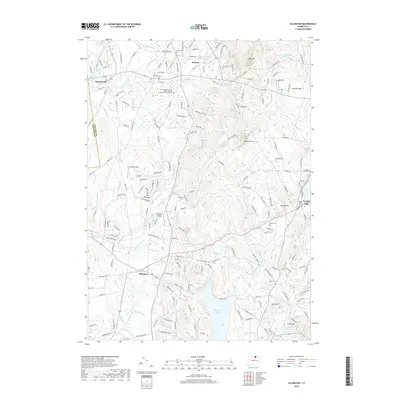
2018 Map of Ellington
USGS Topo · Published 2018About this map
Shenipsit Lake and the surrounding highlands of northern Connecticut define this area at the Tolland and Hartford county line. The settlement patterns of Ellington, Somers, and Somersville are clearly visible, illustrating the transition from agricultural valley lands to the wooded ridges of Soapstone Mtn and Bald Mtn. Local infrastructure is marked by specialized facilities like the Ellington Airport and the New England Tractor Trailer Training School of Connecticut, while numerous burial grounds, including North Cem and Charter Cem, provide vital spatial data for local genealogy. The landscape is deeply etched by a network of waterways such as the Scantic River and Kibbes Brook, which historically drove the local economy and development. This survey serves as a precise record of the mix of suburban growth and preserved open spaces like Wysocki Field that characterizes the region in the early twenty-first century.
Find a feature on this map
200 named features on this map. Tap any name to fly to it.
Don’t see what you’re looking for? This feature index may not catch every label — zoom into the map to look around manually.
Map Details
Editions of this 2018 Ellington Map
This is the sole edition of this map. No revisions or reprints were ever made.
Other maps of this area

1886 · Springfield
USGS Topo · 1:62,500

1887 · Palmer
USGS Topo · 1:62,500

1889 · Springfield
USGS Topo · 1:62,500

1889 · Palmer
USGS Topo · 1:62,500

1892 · Hartford
USGS Topo · 1:62,500

1892 · Tolland
USGS Topo · 1:62,500

1893 · Springfield
USGS Topo · 1:62,500

1893 · Palmer
USGS Topo · 1:62,500

1895 · Springfield
USGS Topo · 1:62,500

1896 · Holyoke
USGS Topo · 1:125,000