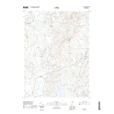
2021 Map of Ellington
USGS Topo · Published 2021About this map
Ellington and Somers serve as the primary hubs in this Connecticut landscape, situated at the edge of the Tolland and Hartford county line. The terrain is defined by the significant rise of Soapstone Mtn and Bald Mtn to the east, which overlook the expansive Shenipsit Lake. This area displays a complex network of watercourses, including the Scantic River and Broad Brook, which have historically shaped the settlement patterns and industry of the region.
Find a feature on this map
201 named features on this map. Tap any name to fly to it.
Don’t see what you’re looking for? This feature index may not catch every label — zoom into the map to look around manually.
Map Details
Editions of this 2021 Ellington Map
This is the sole edition of this map. No revisions or reprints were ever made.
Other maps of this area

1886 · Springfield
USGS Topo · 1:62,500

1887 · Palmer
USGS Topo · 1:62,500

1889 · Springfield
USGS Topo · 1:62,500

1889 · Palmer
USGS Topo · 1:62,500

1892 · Hartford
USGS Topo · 1:62,500

1892 · Tolland
USGS Topo · 1:62,500

1893 · Springfield
USGS Topo · 1:62,500

1893 · Palmer
USGS Topo · 1:62,500

1895 · Springfield
USGS Topo · 1:62,500

1896 · Holyoke
USGS Topo · 1:125,000