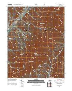
2011 Map of Elliott Knob
USGS Topo · Published 2011About this map
Elliott Knob dominates this section of the Great North Mountain range, reaching its peak at the Elliott Knob Lookout Tower. The landscape is defined by the headwaters and drainage patterns of the Calfpasture River and the Little Calfpasture River, which are fed by numerous steep "drafts" and branches such as Ramseys Draft and Steel Lick Draft. This drainage system illustrates the complex hydrology of the western edge of the Shenandoah Valley.
Find a feature on this map
54 named features on this map. Tap any name to fly to it.
Don’t see what you’re looking for? This feature index may not catch every label — zoom into the map to look around manually.
Map Details
Editions of this 2011 Elliott Knob Map
This is the sole edition of this map. No revisions or reprints were ever made.
Other maps of this area

1894 · Staunton
USGS Topo · 1:125,000

1924 · Mc Dowell
USGS Topo · 1:62,500

1943 · Craigsville
USGS Topo · 1:62,500

1944 · Parnassus
USGS Topo · 1:62,500

1944 · Mc Dowell
USGS Topo · 1:62,500

1944 · Staunton
USGS Topo · 1:62,500

1945 · Craigsville
USGS Topo · 1:62,500

1946 · Mc Dowell
USGS Topo · 1:62,500

1947 · Staunton
USGS Topo · 1:62,500

1947 · Parnassus
USGS Topo · 1:62,500