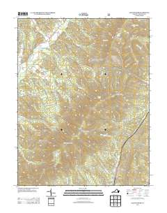
2013 Map of Elliott Knob
USGS Topo · Published 2013About this map
Elliott Knob dominates the high ridge-and-valley landscape of Augusta County, rising as a prominent peak within the Great North Mountain range. This 2013 survey details the drainage systems of the Calfpasture River and Little Calfpasture River, which are fed by numerous family-named drafts and hollows such as Baker Draft and Falls Hollow. The map identifies the small community of Chapin and the area of Mount Elliott Springs, reflecting the local geographic orientation around natural water sources and the towering summits. High-altitude infrastructure is noted by the Elliot Knob Lookout Tower, providing a clear point of reference for the surrounding wilderness. Ancient pathways and modern forest routes intersect the terrain, including Trimbles Mill TRL and Shillings Trl, illustrating the long history of movement through gaps like Dry Branch Gap.
Find a feature on this map
64 named features on this map. Tap any name to fly to it.
Don’t see what you’re looking for? This feature index may not catch every label — zoom into the map to look around manually.
Map Details
Editions of this 2013 Elliott Knob Map
This is the sole edition of this map. No revisions or reprints were ever made.
Other maps of this area
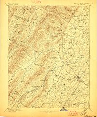
1894 · Staunton
USGS Topo · 1:125,000
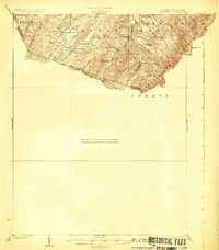
1924 · Mc Dowell
USGS Topo · 1:62,500
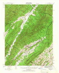
1943 · Craigsville
USGS Topo · 1:62,500
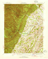
1944 · Parnassus
USGS Topo · 1:62,500
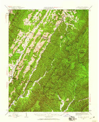
1944 · Mc Dowell
USGS Topo · 1:62,500
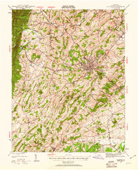
1944 · Staunton
USGS Topo · 1:62,500
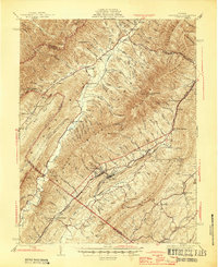
1945 · Craigsville
USGS Topo · 1:62,500
1946 · Mc Dowell
USGS Topo · 1:62,500
1947 · Staunton
USGS Topo · 1:62,500
1947 · Parnassus
USGS Topo · 1:62,500