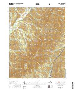
2019 Map of Elliott Knob
USGS Topo · Published 2019About this map
Elliott Knob Great North Mtn dominates the high ground of the George Washington National Forest, marking a prominent point in the drainage divide of Augusta County. The terrain is defined by a dense network of mountain drafts and hollows, such as Wolfpen Draft and John Hollow, which feed into the Calfpasture River and Little Calfpasture River. Human settlement is concentrated in the lower elevations, most notably at Chapin and the area around Mount Elliott Springs. Historical transportation routes are evident in the path of the Old Parkersburg Tpke, which cuts through the ridges alongside modern corridors like State Rte 688. This landscape, characterized by numerous named springs like Chestnut Flat Spring and Buffalo Spring, reflects a mountainous region where water sources and topographic gaps shaped the earliest patterns of travel and residency.
Find a feature on this map
71 named features on this map. Tap any name to fly to it.
Don’t see what you’re looking for? This feature index may not catch every label — zoom into the map to look around manually.
Map Details
Editions of this 2019 Elliott Knob Map
This is the sole edition of this map. No revisions or reprints were ever made.
Other maps of this area
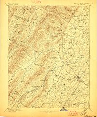
1894 · Staunton
USGS Topo · 1:125,000
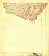
1924 · Mc Dowell
USGS Topo · 1:62,500
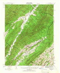
1943 · Craigsville
USGS Topo · 1:62,500
1944 · Parnassus
USGS Topo · 1:62,500
1944 · Mc Dowell
USGS Topo · 1:62,500
1944 · Staunton
USGS Topo · 1:62,500
1945 · Craigsville
USGS Topo · 1:62,500
1946 · Mc Dowell
USGS Topo · 1:62,500
1947 · Staunton
USGS Topo · 1:62,500
1947 · Parnassus
USGS Topo · 1:62,500