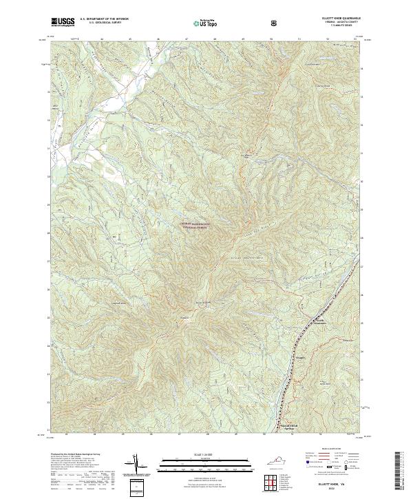
2022 Map of Elliott Knob
USGS Topo · Published 2022About this map
Elliott Knob dominates this portion of the George Washington National Forest, marking a high point in the complex terrain of Augusta County. The landscape is defined by its deep drainage patterns, with numerous named drafts and hollows such as Ramseys Draft and John Hollow feeding into the Calfpasture River and Little Calfpasture River. The historic Old Parkersburg Tpke cuts through the northern sector, reflecting the region's long-standing role as a mountain transit corridor. Along the eastern slopes of the mountain ridges, small settlements like Chapin and the area near Mount Elliott Springs provide a contrast to the dense forest. In the west, the Deerfield Valley offers a broader topographical opening, connected by a network of rural routes like State Rte 688 and specialized paths including the North Mountain Trl.
Find a feature on this map
64 named features on this map. Tap any name to fly to it.
Don’t see what you’re looking for? This feature index may not catch every label — zoom into the map to look around manually.
Map Details
Editions of this 2022 Elliott Knob Map
This is the sole edition of this map. No revisions or reprints were ever made.
Other maps of this area

1894 · Staunton
USGS Topo · 1:125,000

1924 · Mc Dowell
USGS Topo · 1:62,500

1943 · Craigsville
USGS Topo · 1:62,500

1944 · Parnassus
USGS Topo · 1:62,500

1944 · Mc Dowell
USGS Topo · 1:62,500

1944 · Staunton
USGS Topo · 1:62,500

1945 · Craigsville
USGS Topo · 1:62,500

1946 · Mc Dowell
USGS Topo · 1:62,500

1947 · Staunton
USGS Topo · 1:62,500

1947 · Parnassus
USGS Topo · 1:62,500