Loading...
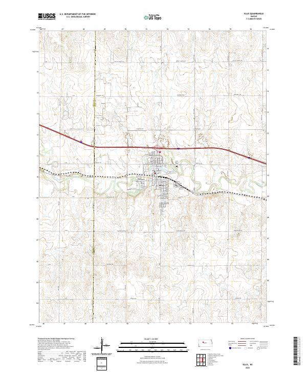
Loading map...2022 Map of Ellis
USGS Topo · Published 2022About this map
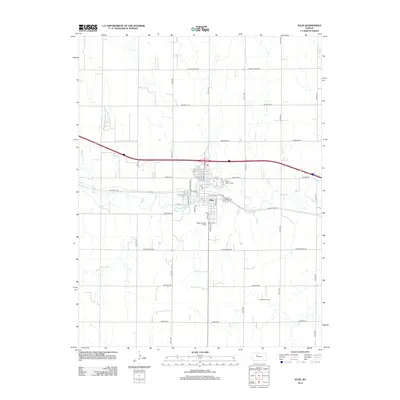
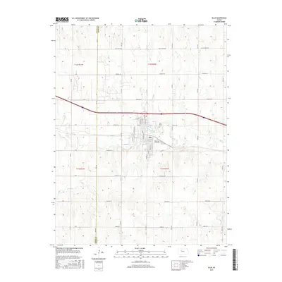
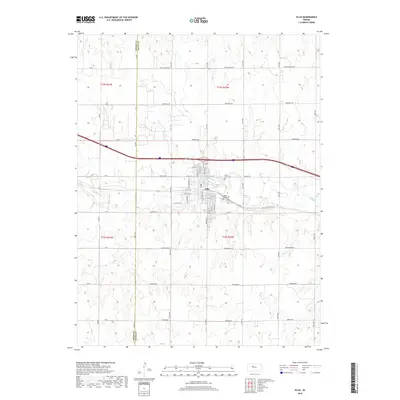
The town of Ellis serves as the focal point of this western Kansas landscape, positioned where the high plains meet the winding course of Big Cr. This 2022 survey captures the community’s layout, featuring a dense network of residential streets such as W 10th St and E 6th St that transition into a expansive grid of rural section roads. Genealogy researchers will find significant landmarks on the eastern edge of the settlement, including Saint Mary's Cem and Mount Hope Cem.
Find a feature on this map
38 named features on this map. Tap any name to fly to it.
Don’t see what you’re looking for? This feature index may not catch every label — zoom into the map to look around manually.
Map Details
Date Portrayed2022
Date Published2022
PublisherU.S. Geological Survey
Map TypeTopographic
Scale1:24,000
Physical Dimensions24 x 29 inches
Editions of this 2022 Ellis Map
This is the sole edition of this map. No revisions or reprints were ever made.
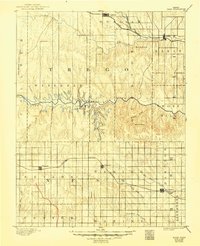
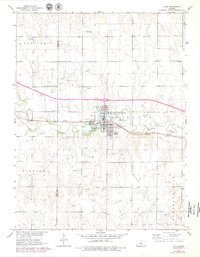
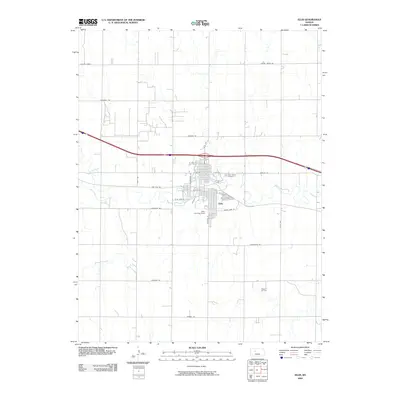
Historical Maps of Ellis Through Time
7 maps found
Featured Locations
Source Details
SourceU.S. Geological Survey
CopyrightPublic Domain