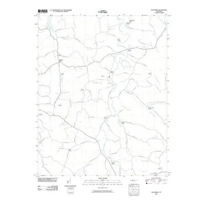
2010 Map of Ellis Mills
USGS Topo · Published 2010About this map
Spring Hill and the surrounding drainage of Yellow Creek define this rural landscape in Middle Tennessee. The area is characterized by a dense network of hollows, such as Tanbark Hollow, Mint Hollow, and Coon Hollow, which have historically dictated the placement of roads and farmsteads. Genealogists will find a wealth of family history preserved in the numerous small burial grounds distributed across the hills, including the Adams Cemetery, Parchman Cemetery, and Shelton Cemetery. The presence of the Ellis Mills Cemetery near Tanbark Hollow points to the local importance of water-powered industry that once flourished along these creek branches. The map traces the winding paths of rural routes like Ellis Mills Rd and Barber Hwy, connecting these scattered family enclaves and historically significant landmarks throughout the drainage basins of Leatherwood Creek and Guices Creek.
Find a feature on this map
91 named features on this map. Tap any name to fly to it.
Don’t see what you’re looking for? This feature index may not catch every label — zoom into the map to look around manually.
Map Details
Editions of this 2010 Ellis Mills Map
This is the sole edition of this map. No revisions or reprints were ever made.
Other maps of this area

1931 · Erin
USGS Topo · 1:62,500

1936 · Tantrough Hollow
USGS Topo · 1:24,000

1936 · Woolworth
USGS Topo · 1:24,000

1936 · Ruskin
USGS Topo · 1:24,000
1952 · Woolworth
USGS Topo · 1:24,000
1953 · Ruskin
USGS Topo · 1:24,000

1956 · Nashville
USGS Topo · 1:250,000
1958 · Vanleer
USGS Topo · 1:24,000
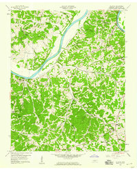
1958 · Palmyra
USGS Topo · 1:24,000
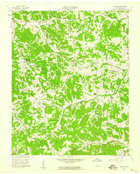
1958 · Slayden
USGS Topo · 1:24,000