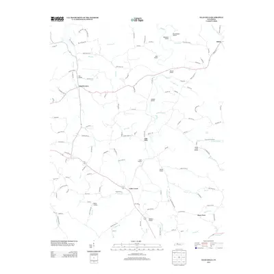
2013 Map of Ellis Mills
USGS Topo · Published 2013About this map
Ellis Mills and Spring Hill anchor this rural landscape in the early 21st century, where the terrain is defined by a dense network of named hollows and creek branches. The topography is deeply incised by waterways like Yellow Creek, Leatherwood Creek, and Guices Creek, which have dictated the placement of small settlements and family-named roads. The map reveals a high concentration of specific geographical landmarks, such as Bushwhacker Hollow and Tanbark Hollow, reflecting the local heritage and naming traditions of this part of Tennessee.
Find a feature on this map
120 named features on this map. Tap any name to fly to it.
Don’t see what you’re looking for? This feature index may not catch every label — zoom into the map to look around manually.
Map Details
Editions of this 2013 Ellis Mills Map
This is the sole edition of this map. No revisions or reprints were ever made.
Other maps of this area

1931 · Erin
USGS Topo · 1:62,500

1936 · Tantrough Hollow
USGS Topo · 1:24,000

1936 · Woolworth
USGS Topo · 1:24,000

1936 · Ruskin
USGS Topo · 1:24,000
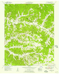
1952 · Woolworth
USGS Topo · 1:24,000
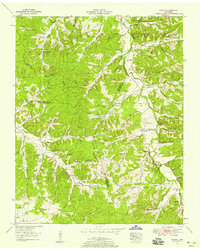
1953 · Ruskin
USGS Topo · 1:24,000

1956 · Nashville
USGS Topo · 1:250,000
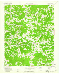
1958 · Vanleer
USGS Topo · 1:24,000
1958 · Palmyra
USGS Topo · 1:24,000
1958 · Slayden
USGS Topo · 1:24,000