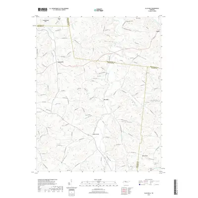
2019 Map of Ellis Mills
USGS Topo · Published 2019About this map
Ellis Mills and the winding Yellow Creek define this rural landscape on the border of Stewart, Houston, and Montgomery counties. This 2019 survey captures a region characterized by deep, family-named hollows and small, dispersed settlements like Spring Hill and Shiloh. The geography is intricately carved by numerous tributaries, including Leatherwood Creek and Guices Creek, which flow through heavily wooded ridges such as Gunson Ridge.
Find a feature on this map
118 named features on this map. Tap any name to fly to it.
Don’t see what you’re looking for? This feature index may not catch every label — zoom into the map to look around manually.
Map Details
Editions of this 2019 Ellis Mills Map
This is the sole edition of this map. No revisions or reprints were ever made.
Other maps of this area

1931 · Erin
USGS Topo · 1:62,500

1936 · Tantrough Hollow
USGS Topo · 1:24,000

1936 · Woolworth
USGS Topo · 1:24,000

1936 · Ruskin
USGS Topo · 1:24,000
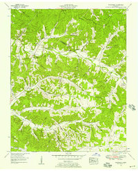
1952 · Woolworth
USGS Topo · 1:24,000
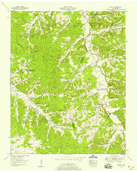
1953 · Ruskin
USGS Topo · 1:24,000

1956 · Nashville
USGS Topo · 1:250,000
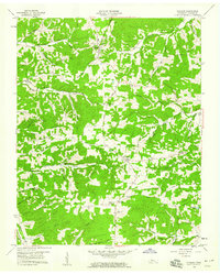
1958 · Vanleer
USGS Topo · 1:24,000
1958 · Palmyra
USGS Topo · 1:24,000
1958 · Slayden
USGS Topo · 1:24,000