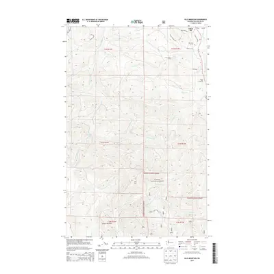
2014 Map of Ellis Mountain
USGS Topo · Published 2014About this map
Clallam Bay serves as a northern anchor for this coastal forest landscape, where the Olympic Peninsula transitions from the saltwater shore into the steep drainages of the Olympic Mountains. The map reveals a complex network of forest development roads and natural waterways, including the Clallam River and the Pysht River, which define the region's topography. Institutional presence is notable with the Clallam Honor Camp situated along Honor Camp Rd, providing a specific look at the intersection of public land management and local infrastructure in the early 21st century.
Find a feature on this map
42 named features on this map. Tap any name to fly to it.
Don’t see what you’re looking for? This feature index may not catch every label — zoom into the map to look around manually.
Map Details
Editions of this 2014 Ellis Mountain Map
This is the sole edition of this map. No revisions or reprints were ever made.
Other maps of this area
1922 · Pysht
USGS Topo · 1:62,500
1935 · Clallam
USGS Topo · 1:62,500
1935 · Lake Pleasant
USGS Topo · 1:62,500
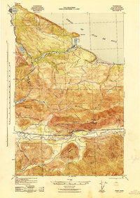
1942 · Pysht
USGS Topo · 1:62,500
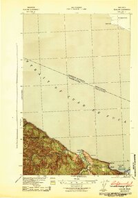
1942 · Clallam
USGS Topo · 1:62,500
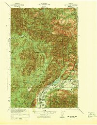
1942 · Lake Pleasant
USGS Topo · 1:62,500
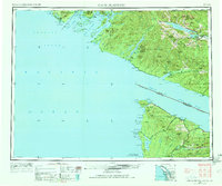
1953 · Cape Flattery
USGS Topo · 1:250,000
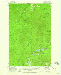
1957 · Lake Pleasant
USGS Topo · 1:62,500
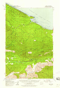
1957 · Pysht
USGS Topo · 1:62,500
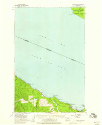
1957 · Clallam Bay
USGS Topo · 1:62,500