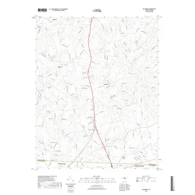
2019 Map of Ellisboro
USGS Topo · Published 2019About this map
Summerfield and Stokesdale anchor the southern boundary of this Rockingham and Guilford County landscape. The terrain is defined by a dense network of tributaries including Hogans Creek, Brushy Creek, and Troublesome Creek, which carve through the Piedmont hills toward the Dan River in the north. The area shows a transition from the rural crossroads at Ellisboro and Gold Hill to the suburban expansion near the Greensboro North Airport.
Find a feature on this map
141 named features on this map. Tap any name to fly to it.
Don’t see what you’re looking for? This feature index may not catch every label — zoom into the map to look around manually.
Map Details
Editions of this 2019 Ellisboro Map
This is the sole edition of this map. No revisions or reprints were ever made.
Other maps of this area

1951 · Lake Brandt
USGS Topo · 1:24,000

1953 · Winston-Salem
USGS Topo · 1:250,000

1953 · Greensboro
USGS Topo · 1:250,000

1954 · Greensboro
USGS Topo · 1:250,000

1955 · Winston-Salem
USGS Topo · 1:250,000

1962 · Winston-Salem
USGS Topo · 1:250,000

1962 · Greensboro
USGS Topo · 1:250,000

1966 · Greensboro
USGS Topo · 1:250,000

1969 · Summerfield
USGS Topo · 1:24,000

1969 · Belews Creek
USGS Topo · 1:24,000