2024 Map of Ellsworth
USGS Topo · Published 2024About this map
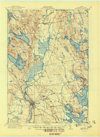
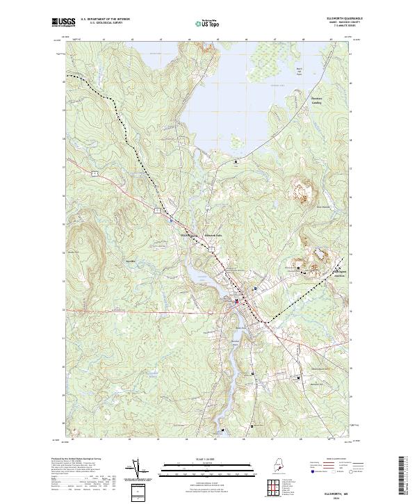
The Union River serves as the central artery of this landscape, carving through the heart of Ellsworth and feeding into Leonard Lake. This modern topographic perspective reveals a complex network of coastal and inland geography where the river's path has historically defined the region's development. Local heritage is deeply rooted in the numerous burial grounds documented here, from the Old Burying Ground Cem near the Hancock County Courthouse to family-named sites like MacKenzie Cem and the Fullerton Milliken Cem.
Find a feature on this map
117 named features on this map. Tap any name to fly to it.
Don’t see what you’re looking for? This feature index may not catch every label — zoom into the map to look around manually.
Map Details
Editions of this 2024 Ellsworth Map
This is the sole edition of this map. No revisions or reprints were ever made.
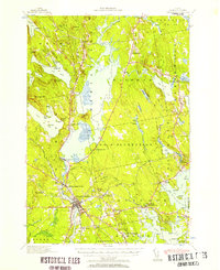
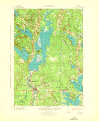
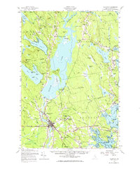
Historical Maps of Fletchers Landing Township Through Time
6 maps found