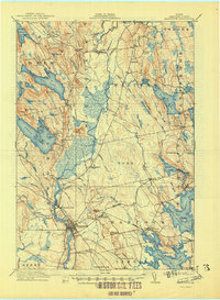
1911 Map of Ellsworth
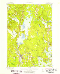
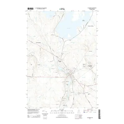
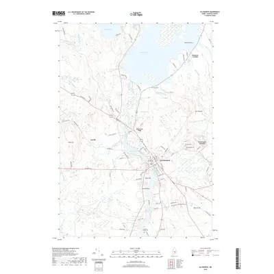
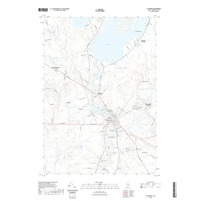
USGS Topo · Published 1948About this map
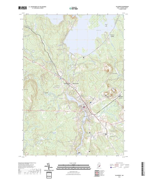
The Union River flows south through the heart of Hancock County, powering the early industrial development of Ellsworth and Ellsworth Falls. In this pre-war landscape, the Maine Central RR serves as a critical transportation corridor, branching at Washington Junction to connect the coastal interior with the wider region. The map reveals a network of rural settlements and remote townships like Mariaville and Waltham, where small communities are anchored by landmarks such as the No 8 Plantation School and the Franklin Road or North Hancock PO.
Find a feature on this map
120 named features on this map. Tap any name to fly to it.
Don’t see what you’re looking for? This feature index may not catch every label — zoom into the map to look around manually.
Map Details
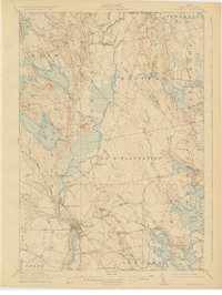
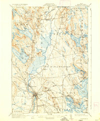
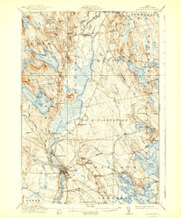
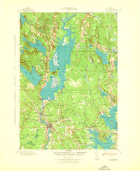
Editions of this 1911 Ellsworth Map
5 editions found

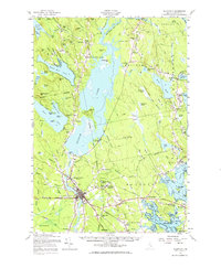
Historical Maps of Ellsworth Through Time
10 maps found
1911 Ellsworth
Hancock County, ME
1940 Ellsworth
Hancock County, ME
1942 Ellsworth
Hancock County, ME
1957 Ellsworth
Hancock County, ME

1981 Ellsworth
Hancock County, ME
2011 Ellsworth
Hancock County, ME
2014 Ellsworth
Hancock County, ME
2018 Ellsworth
Hancock County, ME
2021 Ellsworth
Hancock County, ME
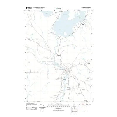
2024 Ellsworth
Hancock County, ME