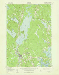
1957 Map of Ellsworth
USGS Topo · Published 1959About this map
Ellsworth and its surrounding townships define this mid-century portrait of coastal Maine's interior, dominated by the expansive waters of Graham Lake and the industrial infrastructure of the Graham Dam. The landscape reveals a transition from the commercial center at Ellsworth Falls to the more dispersed rural communities of Mariaville, Otis, and Waltham. The Maine Central Railroad cuts across the lower portion of the sheet, intersecting at Washington Junction and tracing the route toward Hancock. Genealogists will find a wealth of local data, with numerous small family and community burial grounds such as Hillside Cem, McFarland Hill Cem, and Tannery Cem located near early schoolhouses like Longfellow Sch and Stetson Sch. The presence of the State Game Refuge near Eastbrook and the Blue Star Memorial Highway reflects the evolving 1950s landscape where traditional logging and rail transport met burgeoning post-war conservation and motor travel.
Find a feature on this map
163 named features on this map. Tap any name to fly to it.
Don’t see what you’re looking for? This feature index may not catch every label — zoom into the map to look around manually.
Map Details
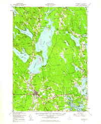
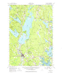
Editions of this 1957 Ellsworth Map
3 editions found
Other maps of this area

1900 · Orland
USGS Topo · 1:62,500

1902 · Orono
USGS Topo · 1:62,500

1904 · Mount Desert
USGS Topo · 1:62,500

1904 · Bar Harbor
USGS Topo · 1:62,500

1904 · Bluehill
USGS Topo · 1:62,500

1905 · Penobscot Bay
USGS Topo · 1:125,000

1911 · Ellsworth
USGS Topo · 1:62,500

1929 · Great Pond
USGS Topo · 1:48,000

1929 · Lead Mountain
USGS Topo · 1:48,000

1930 · Tunk Lake
USGS Topo · 1:48,000