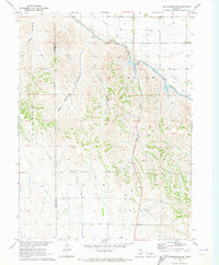
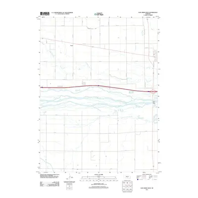
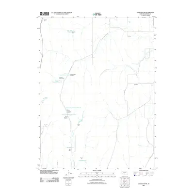
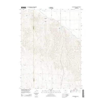
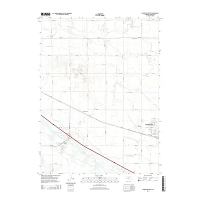
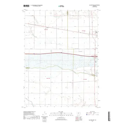
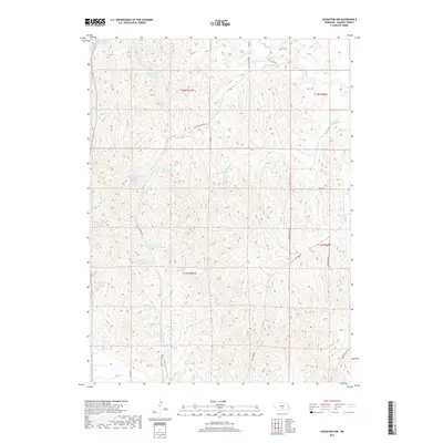
1961 Map of Elm Creek West
USGS Topo · Published 1963About this map
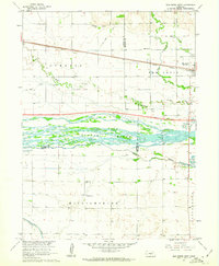
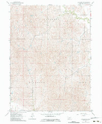
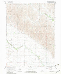
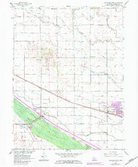
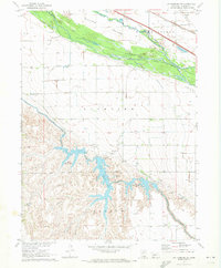
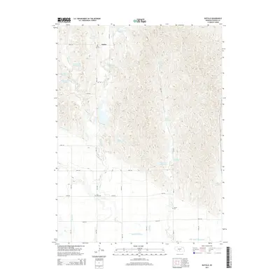
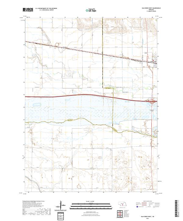
The braided channels of the Platte River dominate this central Nebraska landscape, which reflects a complex intersection of water management and transportation. By the early 1960s, the irrigation economy was well-established, visible through the Elm Creek Canal and various siphons and flumes that cross the prairie. The Union Pacific railroad corridor serves as the primary east-west spine, passing through the grain-handling hub at Elm Creek and the siding at Trued. Rural life is anchored by established community landmarks, including the Williamsburg Ch and several district schoolhouses like School No 94 and East Twelfth Sch. The map also captures a significant moment in the region's infrastructure development, with a major highway marked as Under Construction just north of the river, signaling the arrival of the interstate era alongside the older gravel roads and irrigation networks.
Find a feature on this map
26 named features on this map. Tap any name to fly to it.
Don’t see what you’re looking for? This feature index may not catch every label — zoom into the map to look around manually.
Map Details
Editions of this 1961 Elm Creek West Map
This is the sole edition of this map. No revisions or reprints were ever made.
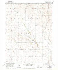
Historical Maps of Elm Creek Through Time
50 maps found
1961 Elm Creek West
Dawson County, NE
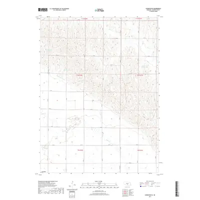
1961 Miller SW
Dawson County, NE
1962 Buffalo
Dawson County, NE
1962 Lexington East
Dawson County, NE
1962 Lexington NW
Dawson County, NE
1962 Lexington SE
Dawson County, NE
1962 Lexington West
Dawson County, NE
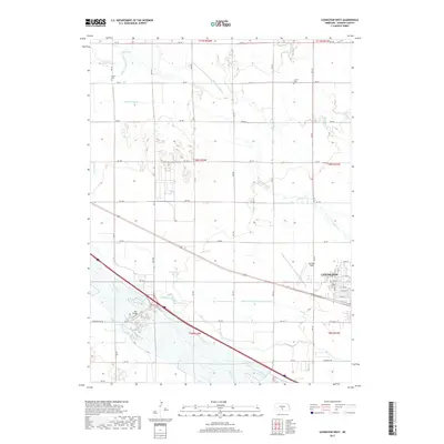
1970 Gothenburg SE
Dawson County, NE
1970 Gothenburg SW
Dawson County, NE
1971 Cozad NW
Dawson County, NE
2011 Buffalo
Dawson County, NE
2011 Cozad NW
Dawson County, NE
2011 Elm Creek West
Dawson County, NE
2011 Gothenburg SE
Dawson County, NE
2011 Gothenburg SW
Dawson County, NE
2011 Lexington East
Dawson County, NE
2011 Lexington NW
Dawson County, NE
2011 Lexington SE
Dawson County, NE
2011 Lexington West
Dawson County, NE
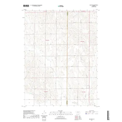
2011 Miller SW
Dawson County, NE
2014 Buffalo
Dawson County, NE
2014 Cozad NW
Dawson County, NE
2014 Elm Creek West
Dawson County, NE
2014 Gothenburg SE
Dawson County, NE
2014 Gothenburg SW
Dawson County, NE
2014 Lexington East
Dawson County, NE
2014 Lexington NW
Dawson County, NE
2014 Lexington SE
Dawson County, NE
2014 Lexington West
Dawson County, NE
2014 Miller SW
Dawson County, NE
2017 Buffalo
Dawson County, NE
2017 Cozad NW
Dawson County, NE
2017 Elm Creek West
Dawson County, NE
2017 Gothenburg SE
Dawson County, NE
2017 Gothenburg SW
Dawson County, NE
2017 Lexington East
Dawson County, NE
2017 Lexington NW
Dawson County, NE
2017 Lexington SE
Dawson County, NE
2017 Lexington West
Dawson County, NE
2017 Miller SW
Dawson County, NE
2021 Buffalo
Dawson County, NE
2021 Cozad NW
Dawson County, NE
2021 Elm Creek West
Dawson County, NE
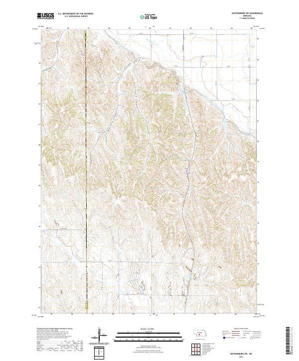
2021 Gothenburg SE
Dawson County, NE
2021 Gothenburg SW
Dawson County, NE
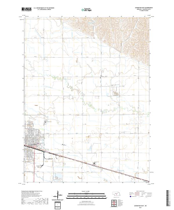
2021 Lexington East
Dawson County, NE
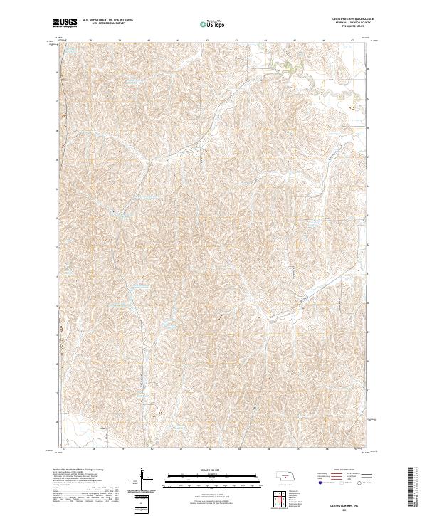
2021 Lexington NW
Dawson County, NE
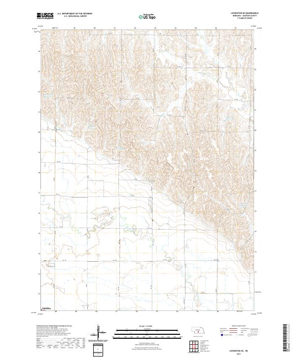
2021 Lexington SE
Dawson County, NE
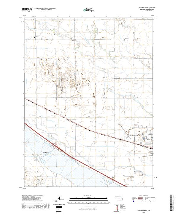
2021 Lexington West
Dawson County, NE
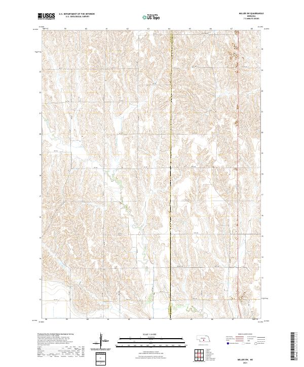
2021 Miller SW
Dawson County, NE