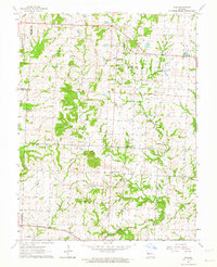
1962 Map of Elm
USGS Topo · Published 1964About this map
The small settlement of Elm sits at the northern end of this mid-century Missouri landscape, where the agricultural plains meet the meandering path of the South Fork Blackwater River. The terrain is defined by the prominent Devil Ridge and a network of rural roads connecting isolated farmsteads and religious centers. Notable spiritual and community sites include Forest Grove Ch, Wesley Chapel, and the Seventh-Day Adventist Ch. Near the southern border, the Missouri Pacific RR cuts across the landscape, marking the vital transit corridor of the era. The area is dotted with several family and community burial grounds such as Underwood Cem and Basin Knob Cem, providing significant touchpoints for genealogical research in this part of Johnson and Jackson Counties.
Find a feature on this map
19 named features on this map. Tap any name to fly to it.
Don’t see what you’re looking for? This feature index may not catch every label — zoom into the map to look around manually.
Map Details
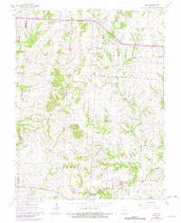
Editions of this 1962 Elm Map
2 editions found
Other maps of this area

1885 · Warrensburg
USGS Topo · 1:125,000

1887 · Harrisonville
USGS Topo · 1:125,000

1887 · Warrensburg
USGS Topo · 1:125,000

1892 · Harrisonville
USGS Topo · 1:125,000

1894 · Harrisonville
USGS Topo · 1:125,000

1894 · Warrensburg
USGS Topo · 1:125,000

1935 · Tarsney
USGS Topo · 1:24,000

1947 · Jefferson City
USGS Topo · 1:250,000

1947 · Lawrence
USGS Topo · 1:250,000

1950 · Lawrence
USGS Topo · 1:250,000