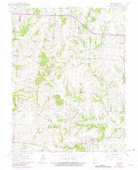
1962 Map of Elm
USGS Topo · Published 1982About this map
Elm sits at a high crossroads in the northern reaches of Johnson County, serving as a quiet focal point for a landscape defined by the winding South Fork Blackwater River and its tributary, the East Br. The terrain transitions from the elevated Basin Knob down toward the bottomlands near the Gaging Station. This early 1960s survey, with updates from 1980, shows the planned development of Holden City Lake in the southern portion of the quadrangle, illustrating local water management efforts during this era. Rural life is anchored by established community landmarks such as Forest Grove Ch, Wesley Chapel, and the Seventh Day Adventist Ch. Transportation is dominated by the Missouri Pacific railroad corridor and a remote Landing Strip, while family histories are preserved at Underwood Cem and Lupday Cem.
Find a feature on this map
25 named features on this map. Tap any name to fly to it.
Don’t see what you’re looking for? This feature index may not catch every label — zoom into the map to look around manually.
Map Details
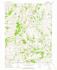
Editions of this 1962 Elm Map
2 editions found
Other maps of this area

1885 · Warrensburg
USGS Topo · 1:125,000

1887 · Harrisonville
USGS Topo · 1:125,000

1887 · Warrensburg
USGS Topo · 1:125,000

1892 · Harrisonville
USGS Topo · 1:125,000

1894 · Harrisonville
USGS Topo · 1:125,000

1894 · Warrensburg
USGS Topo · 1:125,000

1935 · Tarsney
USGS Topo · 1:24,000

1947 · Jefferson City
USGS Topo · 1:250,000

1947 · Lawrence
USGS Topo · 1:250,000

1950 · Lawrence
USGS Topo · 1:250,000