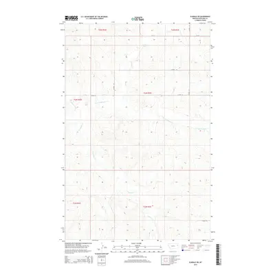
2014 Map of Elmdale SW
USGS Topo · Published 2014About this map
E Redwater Cr and its tributaries carve a complex drainage system through this portion of Richland County, defining the local topography and land use patterns. This 2014 survey captures a landscape primarily structured by the Public Land Survey System, with township and range lines such as t24n r53e dictating the grid of secondary roads and property boundaries. The northern edge is anchored by MT-201, while a network of county routes, including Co Road 317 and Co Road 133, provides access across the sectioned terrain. Smaller drainage ways like Horse Cr and the N Fork E Redwater Cr illustrate the natural flow of the watershed toward larger basins, offering a detailed look at the hydrology of the High Plains as it existed in the early 21st century.
Find a feature on this map
14 named features on this map. Tap any name to fly to it.
Don’t see what you’re looking for? This feature index may not catch every label — zoom into the map to look around manually.
Map Details
Editions of this 2014 Elmdale SW Map
This is the sole edition of this map. No revisions or reprints were ever made.
Other maps of this area

1909 · Glendive
USGS Topo · 1:250,000

1954 · Glendive
USGS Topo · 1:250,000

1957 · Glendive
USGS Topo · 1:250,000

1958 · Glendive
USGS Topo · 1:250,000
1972 · Kuester Lake
USGS Topo · 1:24,000
1972 · Enid
USGS Topo · 1:24,000
1981 · Sidney
USGS Topo · 1:100,000
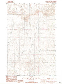
1983 · Duplisse Creek North
USGS Topo · 1:24,000
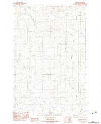
1983 · Elmdale
USGS Topo · 1:24,000
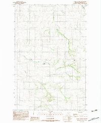
1983 · Carda Coulee
USGS Topo · 1:24,000