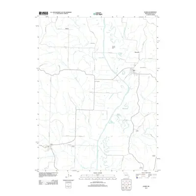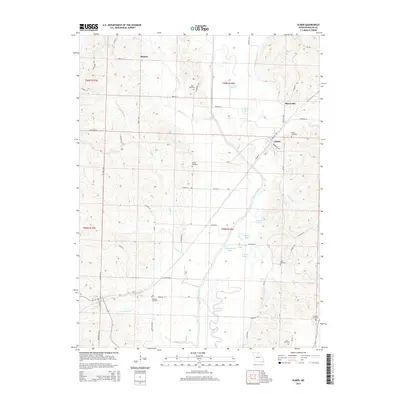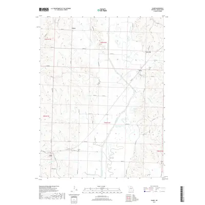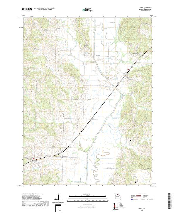
2021 Map of Elmer
USGS Topo · Published 2021About this map
The Chariton River carves a winding path through this portion of Macon County, defining a landscape of river bends and oxbows such as Speno Lake and Round Lake. The settlement at Elmer serves as a local hub, situated near the riverbanks and connected to outlying areas like Mercyville and Walnut by a network of secondary roads and state highways. To the southwest, the town of Ethel anchors the lower corner of the map, while numerous family-named burial sites, including Glasston Cem and Bunce Cem, are scattered across the uplands.
Find a feature on this map
55 named features on this map. Tap any name to fly to it.
Don’t see what you’re looking for? This feature index may not catch every label — zoom into the map to look around manually.
Map Details
Editions of this 2021 Elmer Map
This is the sole edition of this map. No revisions or reprints were ever made.
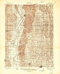
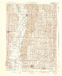
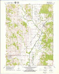
Historical Maps of Ethel Through Time
7 maps found