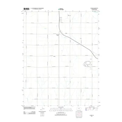
2012 Map of Elmer
USGS Topo · Published 2012About this map
The Arkansas River clips the far northeastern corner of this Reno County landscape, though the local geography is more significantly shaped by the winding course of Sand Cr and its tributaries. Small agricultural hubs and intersections define the settlement pattern, notably the village of Elmer and the nearby crossroads of Cruppers Corner. These sites are linked by a diagonal transit corridor that breaks the otherwise rigid section-line road grid typical of the Kansas prairie.
Find a feature on this map
42 named features on this map. Tap any name to fly to it.
Don’t see what you’re looking for? This feature index may not catch every label — zoom into the map to look around manually.
Map Details
Editions of this 2012 Elmer Map
This is the sole edition of this map. No revisions or reprints were ever made.
Other maps of this area

1889 · Cheney
USGS Topo · 1:125,000

1891 · Hutchinson
USGS Topo · 1:125,000

1891 · Cheney
USGS Topo · 1:125,000

1892 · Kingman
USGS Topo · 1:125,000

1893 · Hutchinson
USGS Topo · 1:125,000

1894 · Kingman
USGS Topo · 1:125,000

1894 · Lyons
USGS Topo · 1:125,000

1901 · Cheney
USGS Topo · 1:125,000

1955 · Wichita
USGS Topo · 1:250,000

1955 · Great Bend
USGS Topo · 1:250,000