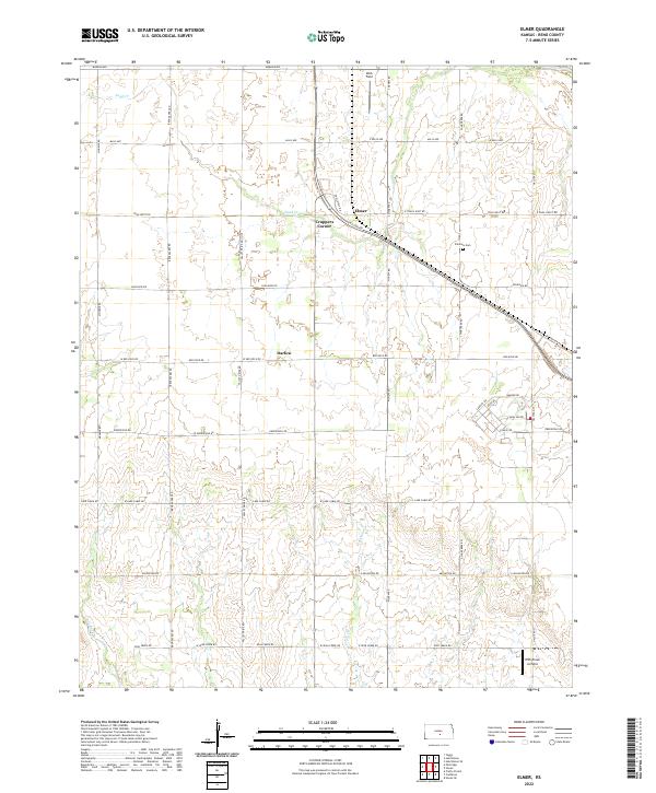
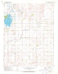
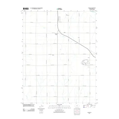
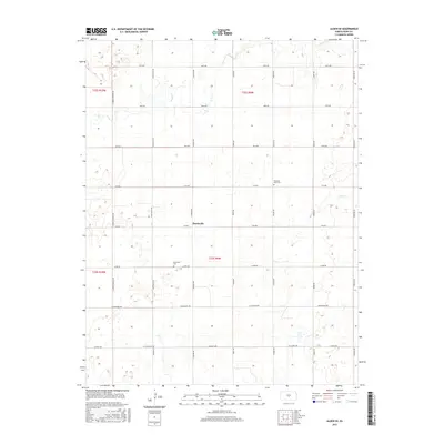
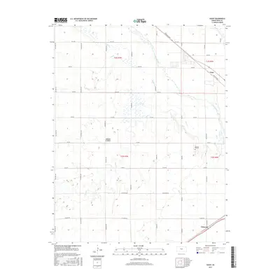
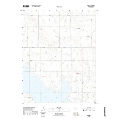
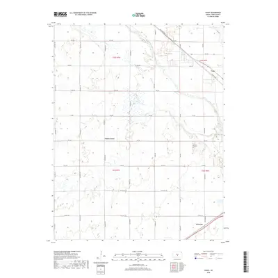
2022 Map of Elmer
USGS Topo · Published 2022About this map
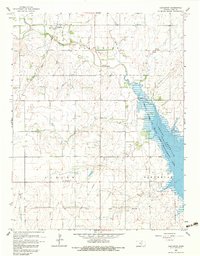
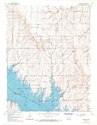
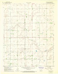
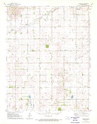
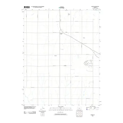
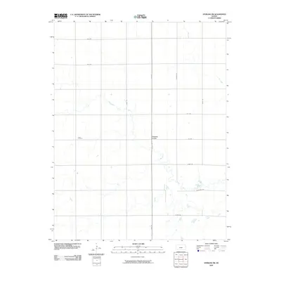
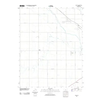
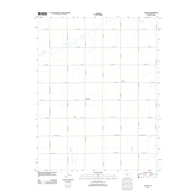
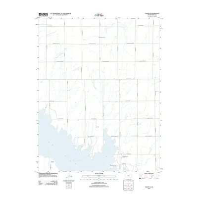
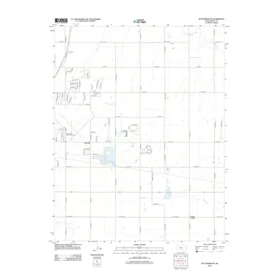
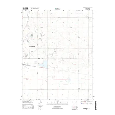
The small settlements of Elmer, Cruppers Corner, and Darlow define the residential landscape of south-central Kansas, where a precise grid of county roads segments the terrain. This rural expanse is crisscrossed by namesake waterways like Sand Cr and Crow Cr, which cut through the agricultural sections. The map reveals the local infrastructure of the modern era, featuring private aviation sites such as Mills Field and Irish Creek Airfield alongside traditional community landmarks like Fairview Cem.
Find a feature on this map
45 named features on this map. Tap any name to fly to it.
Don’t see what you’re looking for? This feature index may not catch every label — zoom into the map to look around manually.
Map Details
Editions of this 2022 Elmer Map
This is the sole edition of this map. No revisions or reprints were ever made.
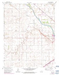
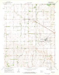
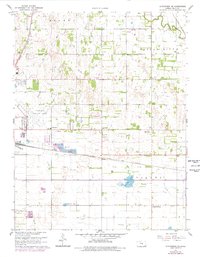
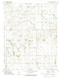
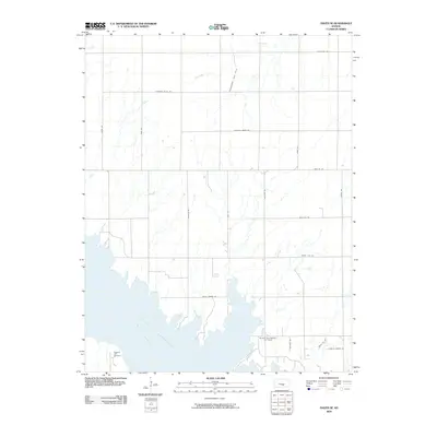
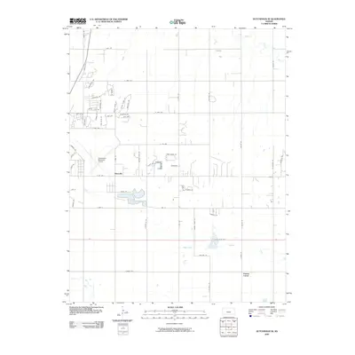
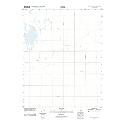
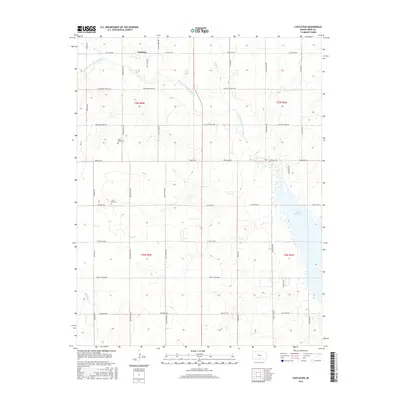
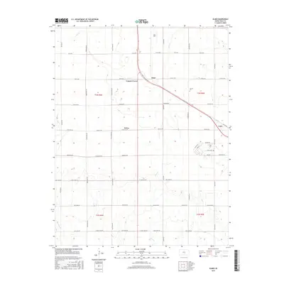
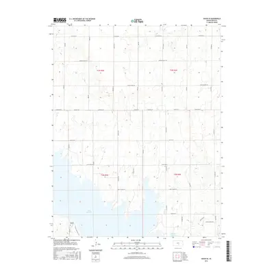
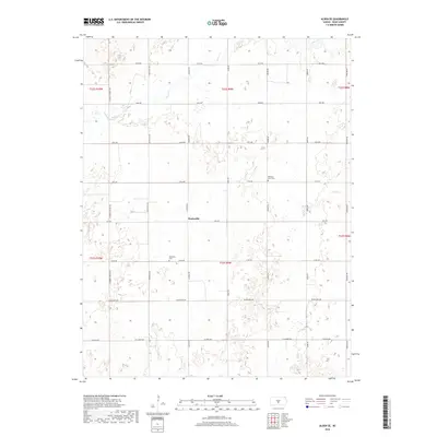
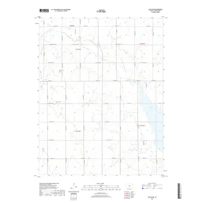
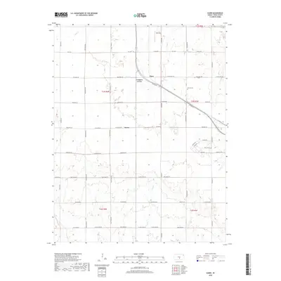
Historical Maps of Cruppers Corner Through Time
54 maps found
1960 Yaggy
Reno County, KS
1961 Elmer
Reno County, KS
1961 Hutchinson SE
Reno County, KS
1965 Castleton
Reno County, KS
1965 Haven SE
Reno County, KS
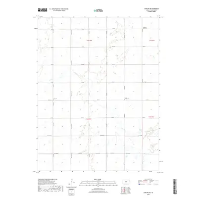
1966 Sterling SW
Reno County, KS
1971 Alden SE
Reno County, KS
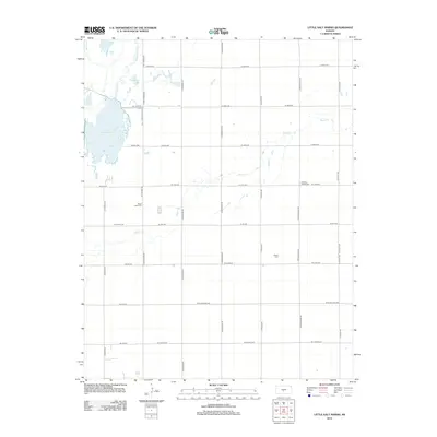
1971 Little Salt Marsh
Reno County, KS
1971 Pretty Prairie SW
Reno County, KS
2009 Alden SE
Reno County, KS
2009 Castleton
Reno County, KS
2009 Elmer
Reno County, KS
2009 Haven SE
Reno County, KS
2009 Hutchinson SE
Reno County, KS
2009 Little Salt Marsh
Reno County, KS
2009 Pretty Prairie SW
Reno County, KS
2009 Sterling SW
Reno County, KS
2009 Yaggy
Reno County, KS
2012 Alden SE
Reno County, KS
2012 Castleton
Reno County, KS
2012 Elmer
Reno County, KS
2012 Haven SE
Reno County, KS
2012 Hutchinson SE
Reno County, KS
2012 Little Salt Marsh
Reno County, KS
2012 Pretty Prairie SW
Reno County, KS
2012 Sterling SW
Reno County, KS
2012 Yaggy
Reno County, KS
2015 Alden SE
Reno County, KS
2015 Castleton
Reno County, KS
2015 Elmer
Reno County, KS
2015 Haven SE
Reno County, KS
2015 Hutchinson SE
Reno County, KS
2015 Little Salt Marsh
Reno County, KS
2015 Pretty Prairie SW
Reno County, KS
2015 Sterling SW
Reno County, KS
2015 Yaggy
Reno County, KS
2018 Alden SE
Reno County, KS
2018 Castleton
Reno County, KS
2018 Elmer
Reno County, KS
2018 Haven SE
Reno County, KS
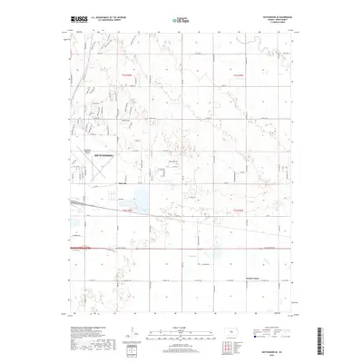
2018 Hutchinson SE
Reno County, KS
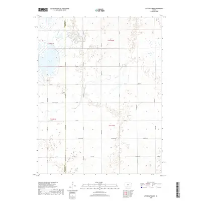
2018 Little Salt Marsh
Reno County, KS
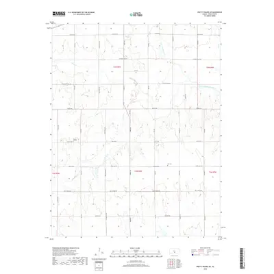
2018 Pretty Prairie SW
Reno County, KS
2018 Sterling SW
Reno County, KS
2018 Yaggy
Reno County, KS
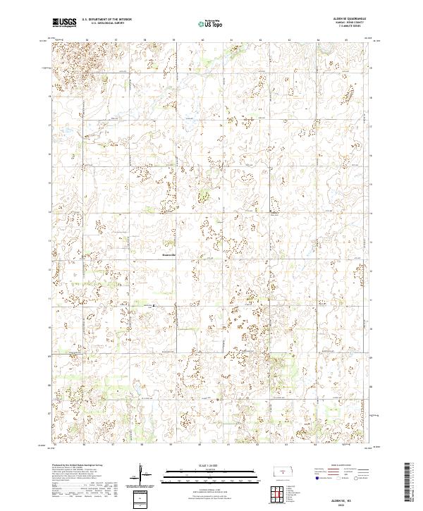
2022 Alden SE
Reno County, KS
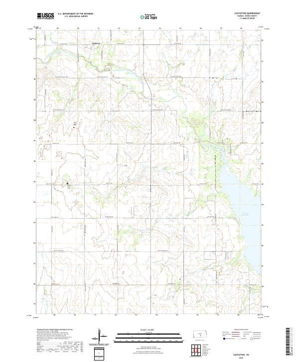
2022 Castleton
Reno County, KS
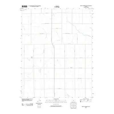
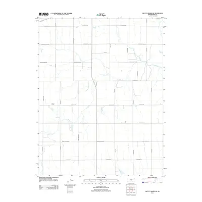
2022 Elmer
Reno County, KS
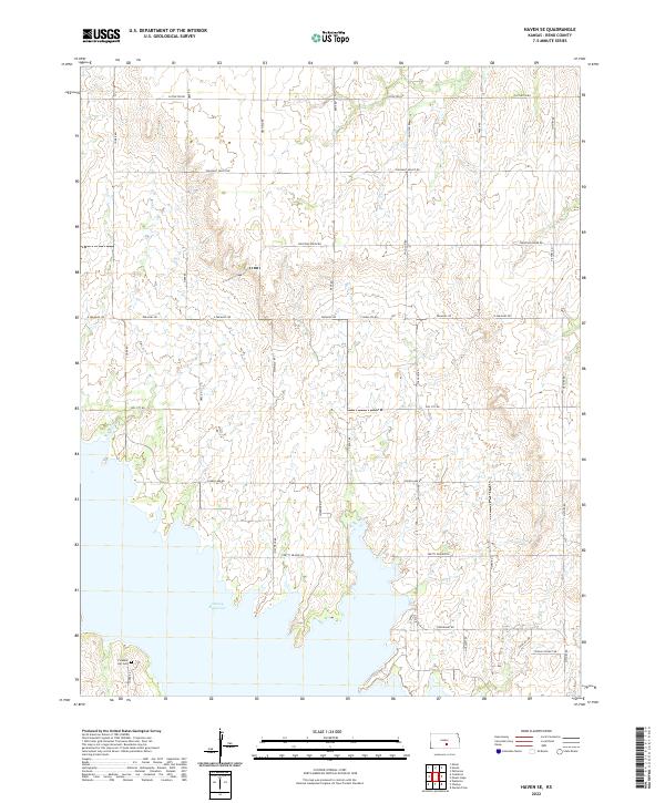
2022 Haven SE
Reno County, KS
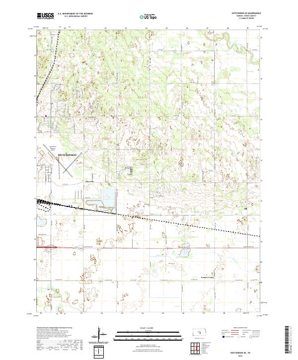
2022 Hutchinson SE
Reno County, KS

2022 Little Salt Marsh
Reno County, KS

2022 Pretty Prairie SW
Reno County, KS
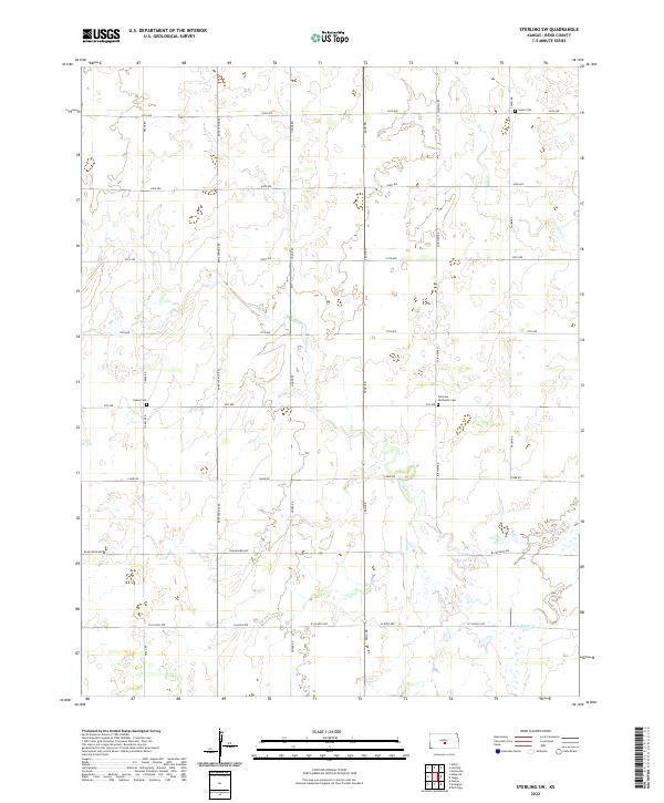
2022 Sterling SW
Reno County, KS
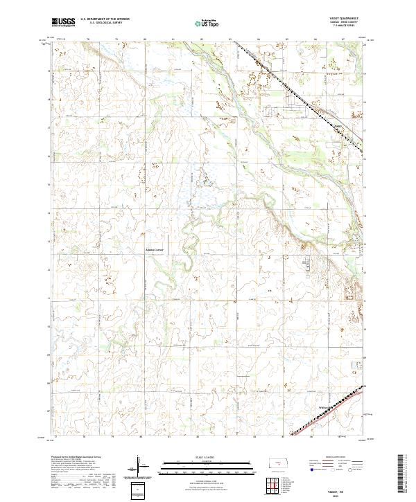
2022 Yaggy
Reno County, KS