Loading...
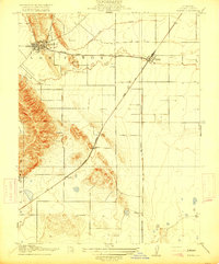
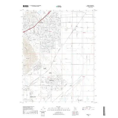
Loading map...1917 Map of Elmira
USGS Topo · Published 1917About this map
Vacaville and the surrounding Solano County plains are defined here by a lattice of agricultural land and critical rail corridors. The Southern Pacific (Ogden Line) cuts diagonally across the terrain, intersecting the Southern Pacific (Clear Lake Branch) at the village of Elmira. This junction reflects a period when rail connectivity was the lifeblood of the local economy, facilitating the movement of crops and materials through the Sacramento Valley.
Find a feature on this map
13 named features on this map. Tap any name to fly to it.
Don’t see what you’re looking for? This feature index may not catch every label — zoom into the map to look around manually.
Map Details
Date Portrayed1917
Date Published1917
PublisherU.S. Geological Survey
Map TypeTopographic
Scale1:31,680
Physical Dimensions16.4 x 19.8 inches
Editions of this 1917 Elmira Map
This is the sole edition of this map. No revisions or reprints were ever made.
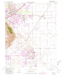
Historical Maps of Fairfield Through Time
6 maps found
Featured Locations
Source Details
SourceU.S. Geological Survey
CopyrightPublic Domain