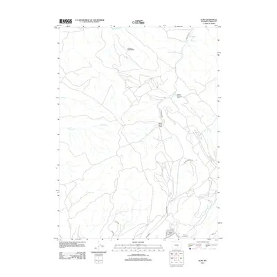
2012 Map of Elmo
USGS Topo · Published 2012About this map
Elmo sits at the southern edge of this landscape, characterized by the intricate drainage systems and rugged topographic relief of Carbon County. The terrain is defined by significant geographical markers like the Medicine Bow Breaks to the north and the sprawling Barrel Springs Draw. Water management in this arid environment is evident through features such as Middle Ditch and N Ditch, which cut across the plains to divert precious resources.
Find a feature on this map
18 named features on this map. Tap any name to fly to it.
Don’t see what you’re looking for? This feature index may not catch every label — zoom into the map to look around manually.
Map Details
Editions of this 2012 Elmo Map
This is the sole edition of this map. No revisions or reprints were ever made.
Other maps of this area

1893 · Fort Steele
USGS Topo · 1:125,000

1914 · Hanna
USGS Topo · 1:62,500

1914 · Saddleback Hills
USGS Topo · 1:62,500

1921 · Saddleback Hills
USGS Topo · 1:62,500

1953 · Schneider Ridge
USGS Topo · 1:24,000

1953 · T E Ranch
USGS Topo · 1:24,000

1954 · Rawlins
USGS Topo · 1:250,000

1955 · Casper
USGS Topo · 1:250,000

1958 · Rawlins
USGS Topo · 1:250,000

1958 · Casper
USGS Topo · 1:250,000