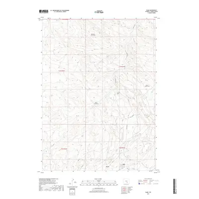
2017 Map of Elmo
USGS Topo · Published 2017About this map
Hanna and the adjacent settlement of Elmo anchor the southern portion of this Carbon County landscape, situated along the corridor of Hwy 291. The area is defined by a series of drainage systems and intermittent water features that carve through the high desert terrain, including Hanna Draw and the descriptively named Stink Cr. To the north, the topography rises into the Medicine Bow Breaks, where complex contouring reveals a more dissected landform compared to the relatively level plains near the towns.
Find a feature on this map
23 named features on this map. Tap any name to fly to it.
Don’t see what you’re looking for? This feature index may not catch every label — zoom into the map to look around manually.
Map Details
Editions of this 2017 Elmo Map
This is the sole edition of this map. No revisions or reprints were ever made.
Other maps of this area

1893 · Fort Steele
USGS Topo · 1:125,000

1914 · Hanna
USGS Topo · 1:62,500

1914 · Saddleback Hills
USGS Topo · 1:62,500

1921 · Saddleback Hills
USGS Topo · 1:62,500

1953 · Schneider Ridge
USGS Topo · 1:24,000

1953 · T E Ranch
USGS Topo · 1:24,000

1954 · Rawlins
USGS Topo · 1:250,000

1955 · Casper
USGS Topo · 1:250,000

1958 · Rawlins
USGS Topo · 1:250,000

1958 · Casper
USGS Topo · 1:250,000