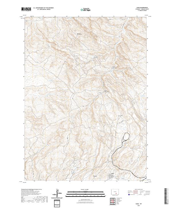
2021 Map of Elmo
USGS Topo · Published 2021About this map
Hanna and the adjacent settlement of Elmo sit at the southern edge of this high-plains landscape, representing the primary residential hubs in this part of Carbon County. The terrain is defined by a network of drainage channels and irrigation infrastructure, including the N Ditch and Middle Ditch, which suggest the management of scarce water resources in an arid environment. To the north, the elevation rises toward the Medicine Bow Breaks, a complex system of ridges and coulees that dominates the upper half of the quadrangle. The naming of local landmarks like Hanna Draw, Barrel Spring, and Stink Cr provides a glimpse into the topographical identifiers used by local ranchers and residents. The proximity of transportation routes like Hwy 291 and various county roads indicates the connectivity between these small coal-country communities and the surrounding rangeland.
Find a feature on this map
23 named features on this map. Tap any name to fly to it.
Don’t see what you’re looking for? This feature index may not catch every label — zoom into the map to look around manually.
Map Details
Editions of this 2021 Elmo Map
This is the sole edition of this map. No revisions or reprints were ever made.
Other maps of this area

1893 · Fort Steele
USGS Topo · 1:125,000

1914 · Hanna
USGS Topo · 1:62,500

1914 · Saddleback Hills
USGS Topo · 1:62,500

1921 · Saddleback Hills
USGS Topo · 1:62,500

1953 · Schneider Ridge
USGS Topo · 1:24,000

1953 · T E Ranch
USGS Topo · 1:24,000

1954 · Rawlins
USGS Topo · 1:250,000

1955 · Casper
USGS Topo · 1:250,000

1958 · Rawlins
USGS Topo · 1:250,000

1958 · Casper
USGS Topo · 1:250,000