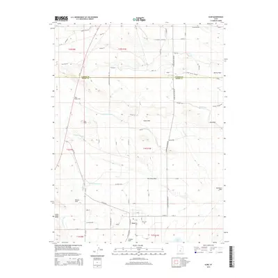
2014 Map of Elmo
USGS Topo · Published 2014About this map
The town of Elmo sits at a geographic crossroads on the border of Carbon and Emery counties, defined by an intricate network of irrigation systems and dry washes. The Carbon Canal and the N Br Cleveland Canal dominate the eastern landscape, representing the vital water infrastructure necessary for life in this arid basin. To the south, Desert Lake provides a rare water feature near the agricultural settlement, while the Elmo Cem serves as a local landmark for genealogical researchers. The surrounding terrain is marked by prominent natural features such as the Twin Peaks and the elevated Poison Spring Bench to the southwest. A grid of local roads like Jimmy Staker Rd Stake Rd and N Upper Miller Creek Rd connects the scattered homesteads and ranches that rely on the seasonal flows of Mathis Wash and Timothy Wash.
Find a feature on this map
76 named features on this map. Tap any name to fly to it.
Don’t see what you’re looking for? This feature index may not catch every label — zoom into the map to look around manually.
Map Details
Editions of this 2014 Elmo Map
This is the sole edition of this map. No revisions or reprints were ever made.
Other maps of this area
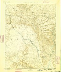
1886 · Price River
USGS Topo · 1:250,000
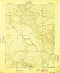
1896 · Price River
USGS Topo · 1:250,000
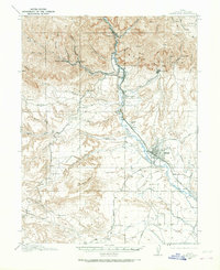
1914 · Castle Gate
USGS Topo · 1:62,500
1915 · Wellington
USGS Topo · 1:62,500
1916 · Castle Gate
USGS Topo · 1:62,500
1956 · Price
USGS Topo · 1:250,000
1960 · Price
USGS Topo · 1:250,000
1962 · Price
USGS Topo · 1:250,000
1969 · Olsen Reservoir
USGS Topo · 1:24,000
1969 · Elmo
USGS Topo · 1:24,000