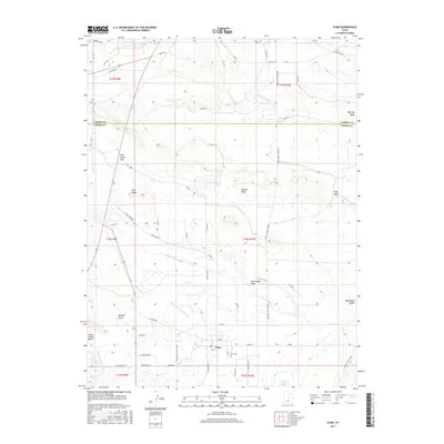
2017 Map of Elmo
USGS Topo · Published 2017About this map
Elmo sits at the heart of this rural landscape, surrounded by an intricate network of irrigation systems and dry washes that define the agricultural and geological character of Emery County. The town's layout is grounded by landmarks like the Elmo Cem and the Oveson Bus Loop & Spur, while the surrounding terrain is marked by the Carbon Canal and the Elmo Br Cleveland Canal. This irrigation infrastructure allows for settlement in a region otherwise characterized by arid features like the Poison Spring Bench and Mathis Wash.
Find a feature on this map
62 named features on this map. Tap any name to fly to it.
Don’t see what you’re looking for? This feature index may not catch every label — zoom into the map to look around manually.
Map Details
Editions of this 2017 Elmo Map
This is the sole edition of this map. No revisions or reprints were ever made.
Other maps of this area
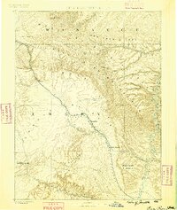
1886 · Price River
USGS Topo · 1:250,000
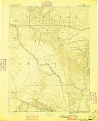
1896 · Price River
USGS Topo · 1:250,000
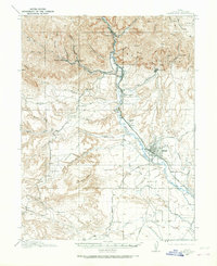
1914 · Castle Gate
USGS Topo · 1:62,500
1915 · Wellington
USGS Topo · 1:62,500
1916 · Castle Gate
USGS Topo · 1:62,500
1956 · Price
USGS Topo · 1:250,000
1960 · Price
USGS Topo · 1:250,000
1962 · Price
USGS Topo · 1:250,000
1969 · Olsen Reservoir
USGS Topo · 1:24,000
1969 · Elmo
USGS Topo · 1:24,000