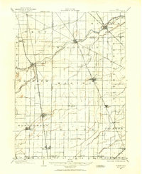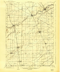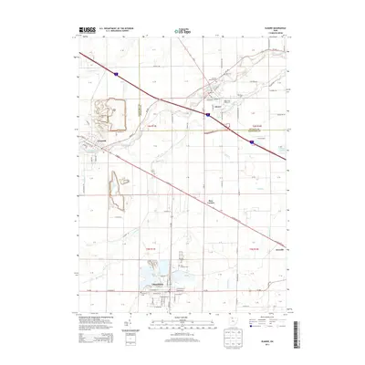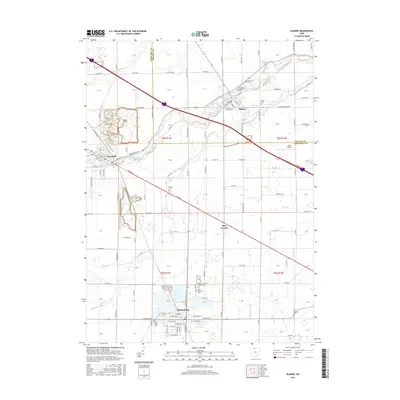
1959 Map of Elmore
USGS Topo · Published 1961About this map
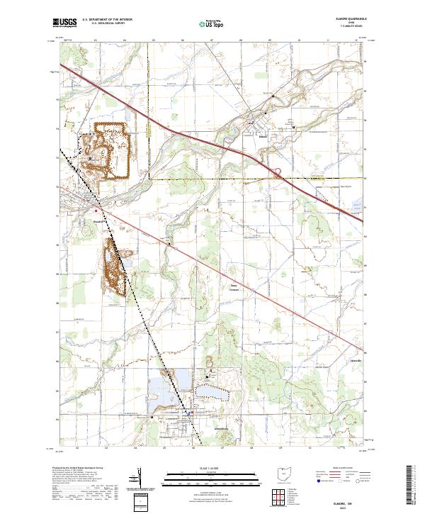
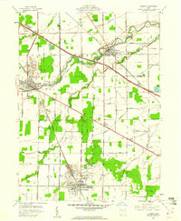
The Portage River flows through a landscape defined by industry and agriculture in this late 1950s survey of the Sandusky and Ottawa County line. The area shows a heavy concentration of limestone extraction, with large quarries and tailings piles concentrated around Woodville and Gibsonburg. The local economy is further detailed by numerous oil wells and a dedicated Oil Field to the southeast, while the Ohio Turnpike cuts across the northern half of the map, illustrating the shift toward modern interstate transport.
Find a feature on this map
59 named features on this map. Tap any name to fly to it.
Don’t see what you’re looking for? This feature index may not catch every label — zoom into the map to look around manually.
Map Details
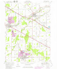
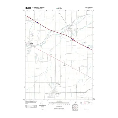
Editions of this 1959 Elmore Map
This is the sole edition of this map. No revisions or reprints were ever made.
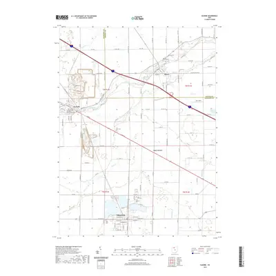
Historical Maps of Gibsonburg Through Time
9 maps found