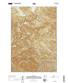
2020 Map of Elsie
USGS Topo · Published 2020About this map
Elsie serves as a central point in this northern Oregon landscape, situated near the confluence of Larsen Cr and the Nehalem River. The terrain is defined by the broad Nehalem Valley and the prominent heights of Flat Iron Mtn and Four Seven Ridge. Local history is anchored by the Sunny Hill Cem and the settlement of Lukarilla to the southwest. This area is heavily influenced by its hydrology, featuring numerous named waterways like Spruce Run Cr and Quartz Cr, alongside elevated bodies of water including Lost Lake and Bloom Lake. The presence of the Quartz Creek Mainline and various fire roads like August Fire Rd reflects the importance of timber management and forest access in this part of the Coast Range.
Find a feature on this map
60 named features on this map. Tap any name to fly to it.
Don’t see what you’re looking for? This feature index may not catch every label — zoom into the map to look around manually.
Map Details
Editions of this 2020 Elsie Map
This is the sole edition of this map. No revisions or reprints were ever made.
Other maps of this area

1937 · Enright
USGS Topo · 1:62,500

1939 · Saddle Mountain
USGS Topo · 1:62,500

1941 · Keasey
USGS Topo · 1:62,500

1941 · Timber
USGS Topo · 1:62,500

1941 · Enright
USGS Topo · 1:62,500

1943 · Keasey
USGS Topo · 1:62,500

1943 · Saddle Mtn.
USGS Topo · 1:62,500

1948 · Vancouver
USGS Topo · 1:250,000

1950 · Vancouver
USGS Topo · 1:250,000

1950 · Vancouver
USGS Topo · 1:250,000