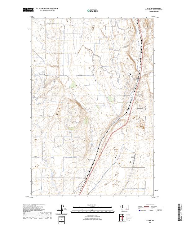
2023 Map of Eltopia
USGS Topo · Published 2023About this map
Eltopia and the surrounding agricultural landscape of Franklin County are defined by an intricate network of irrigation and infrastructure in this recent 21st-century survey. The settlement is situated along the Esquatzel Coulee, a prominent natural drainage feature that contrasts with the engineered precision of the Potholes Canal visible to the west. Local landmarks such as the Eltopia Cem and Pfister's Airport provide specific points of reference for genealogists and local historians tracking the community's contemporary footprint. The terrain is dominated by the broad rise of Jackass Mtn, while the rural road system, including Blanton Rd and Glade Rd, follows a rigid section-line grid that reveals the enduring influence of early land surveys on modern land use. This map serves as a record of the region's managed water resources and residential pockets like Sagemoor at the start of the 2020s.
Find a feature on this map
49 named features on this map. Tap any name to fly to it.
Don’t see what you’re looking for? This feature index may not catch every label — zoom into the map to look around manually.
Map Details
Editions of this 2023 Eltopia Map
This is the sole edition of this map. No revisions or reprints were ever made.
Other maps of this area

1915 · Wallulah
USGS Topo · 1:96,000

1916 · Connell
USGS Topo · 1:125,000

1917 · Pasco
USGS Topo · 1:125,000

1918 · Connell
USGS Topo · 1:125,000

1918 · Wallula
USGS Topo · 1:125,000

1925 · Scooteney Lake
USGS Topo · 1:62,500

1951 · Scooteney Lake
USGS Topo · 1:62,500

1953 · Walla Walla
USGS Topo · 1:250,000

1958 · Walla Walla
USGS Topo · 1:250,000

1963 · Rye Grass Coulee
USGS Topo · 1:24,000