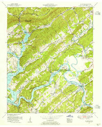
1953 Map of Elverton
USGS Topo · Published 1955About this map
U S Atomic Energy Commission (Oak Ridge Area) land occupies a significant portion of the landscape, marking a transition in land use along the Clinch River during the early Cold War era. The topography is defined by the prominent parallel structures of Walden Ridge and Black Oak Ridge, which hem in a network of smaller valleys like Dickey Valley. The flooding of the river valleys to create Watts Bar Lake is a dominant geographic feature, altering the historic connectivity of settlements like Elverton and Lawnville.
Find a feature on this map
68 named features on this map. Tap any name to fly to it.
Don’t see what you’re looking for? This feature index may not catch every label — zoom into the map to look around manually.
Map Details
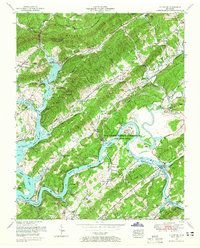
Editions of this 1953 Elverton Map
2 editions found
Other maps of this area

1887 · Kingston
USGS Topo · 1:125,000

1891 · Kingston
USGS Topo · 1:125,000

1893 · Briceville
USGS Topo · 1:125,000

1893 · Kingston
USGS Topo · 1:125,000

1895 · Wartburg
USGS Topo · 1:125,000

1895 · Loudon
USGS Topo · 1:125,000

1895 · Briceville
USGS Topo · 1:125,000

1896 · Wartburg
USGS Topo · 1:125,000

1896 · Briceville
USGS Topo · 1:125,000

1935 · Camp Austin
USGS Topo · 1:24,000