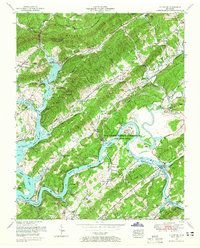
1953 Map of Elverton
USGS Topo · Published 1965About this map
The U S Atomic Energy Commission (Oak Ridge Area) dominates the eastern landscape of this Roane County topographic study, reflecting the significant federal footprint in the region during the mid-20th century. The terrain is defined by the prominent Walden Ridge and Dickey Ridge, which channel the Emory River and the Clinch River toward their confluence at Watts Bar Lake. This era shows a transition from traditional river crossings like Centers Ferry to permanent structures such as the Gallaher Bridge. Local genealogical interest is high due to the density of family burial grounds, including the Jonesville Cemetery, Riggs Cemetery, and a documented Slave Cemetery. The presence of the Southern Railway through Elverton and Blair highlights the industrial transport network serving the burgeoning atomic research complex.
Find a feature on this map
77 named features on this map. Tap any name to fly to it.
Don’t see what you’re looking for? This feature index may not catch every label — zoom into the map to look around manually.
Map Details
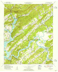
Editions of this 1953 Elverton Map
2 editions found
Other maps of this area

1887 · Kingston
USGS Topo · 1:125,000

1891 · Kingston
USGS Topo · 1:125,000

1893 · Briceville
USGS Topo · 1:125,000

1893 · Kingston
USGS Topo · 1:125,000

1895 · Wartburg
USGS Topo · 1:125,000

1895 · Loudon
USGS Topo · 1:125,000

1895 · Briceville
USGS Topo · 1:125,000

1896 · Wartburg
USGS Topo · 1:125,000

1896 · Briceville
USGS Topo · 1:125,000

1935 · Camp Austin
USGS Topo · 1:24,000