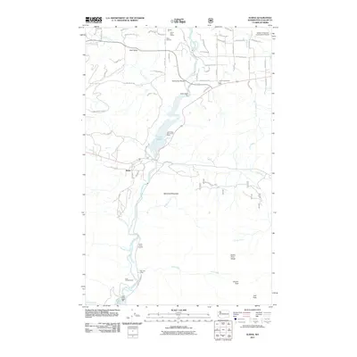
2011 Map of Elwha
USGS Topo · Published 2011About this map
The Elwha River corridor is captured here in its final configuration before one of the largest dam removal projects in history began. The landscape is defined by the massive reservoirs of Lake Aldwell and Lake Mills, held back by the Elwha Dam and Upper Elwha Dam respectively. This 2011 survey serves as a critical geographic baseline for the region just before the river was returned to its natural state.
Find a feature on this map
76 named features on this map. Tap any name to fly to it.
Don’t see what you’re looking for? This feature index may not catch every label — zoom into the map to look around manually.
Map Details
Editions of this 2011 Elwha Map
This is the sole edition of this map. No revisions or reprints were ever made.
Other maps of this area
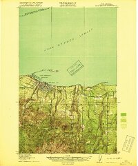
1918 · Port Angeles
USGS Topo · 1:62,500
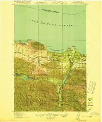
1919 · Port Crescent
USGS Topo · 1:62,500
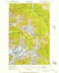
1935 · Mount Olympus
USGS Topo · 1:62,500
1938 · Mt Constance
USGS Topo · 1:125,000
1941 · Port Angeles
USGS Topo · 1:62,500
1942 · Mount Olympus
USGS Topo · 1:62,500
1944 · Mt. Angeles
USGS Topo · 1:62,500
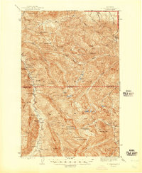
1946 · Mt. Angeles
USGS Topo · 1:62,500
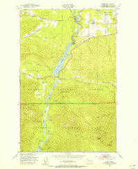
1950 · Elwha
USGS Topo · 1:24,000
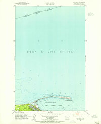
1950 · Ediz Hook
USGS Topo · 1:24,000