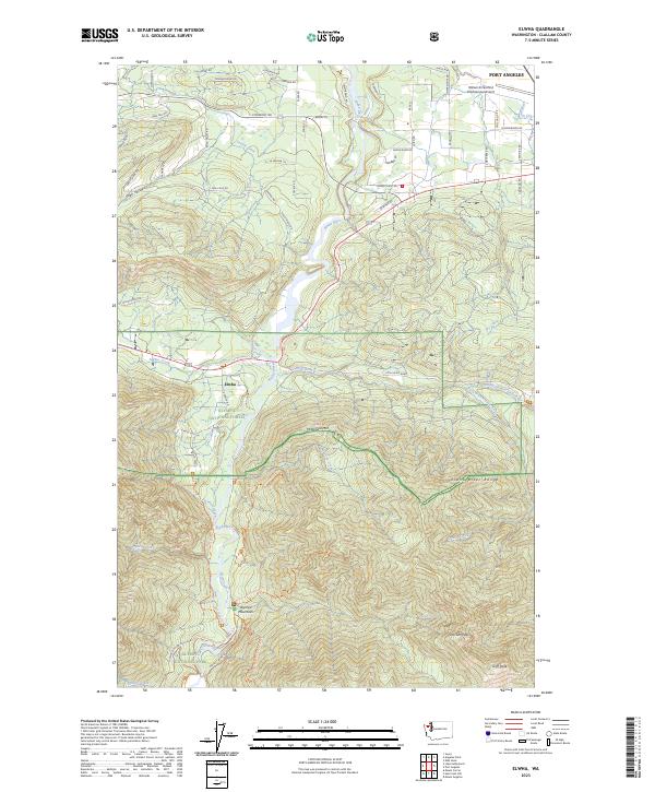
2023 Map of Elwha
USGS Topo · Published 2023About this map
The Elwha River carves a deep path through this landscape, marking the transition from the coastal plains of Port Angeles into the dense forests of the Olympic National Park. This 2023 survey documents the region after significant ecological restoration efforts, showing the river winding past Elwha and meeting tributaries like Little River and Indian Creek. To the north, the William R Fairchild International Airport sits near the edge of the urban development that spreads along roads like Piedmont Rd and Dan Kelly Rd.
Find a feature on this map
71 named features on this map. Tap any name to fly to it.
Don’t see what you’re looking for? This feature index may not catch every label — zoom into the map to look around manually.
Map Details
Editions of this 2023 Elwha Map
This is the sole edition of this map. No revisions or reprints were ever made.
Other maps of this area

1918 · Port Angeles
USGS Topo · 1:62,500

1919 · Port Crescent
USGS Topo · 1:62,500

1935 · Mount Olympus
USGS Topo · 1:62,500

1938 · Mt Constance
USGS Topo · 1:125,000

1941 · Port Angeles
USGS Topo · 1:62,500

1942 · Mount Olympus
USGS Topo · 1:62,500

1944 · Mt. Angeles
USGS Topo · 1:62,500

1946 · Mt. Angeles
USGS Topo · 1:62,500

1950 · Elwha
USGS Topo · 1:24,000

1950 · Ediz Hook
USGS Topo · 1:24,000