Loading...
Loading map...2021 Map of Elwood
USGS Topo · Published 2021About this map
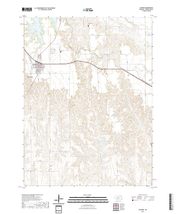
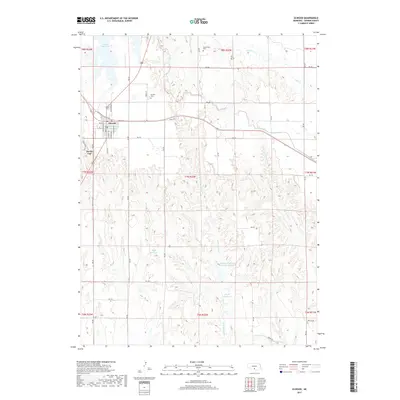
The Gosper County Courthouse serves as the focal point for the village of Elwood, the seat of Gosper County in central Nebraska. This 2021 map details the grid of the town, from Ontario Ave to Rockford St, surrounded by the high plains of the Platte River valley. The landscape beyond the village is defined by a complex network of draws and plateaus, punctuated by distinctive terrain such as Devils Gap to the southwest.
Find a feature on this map
44 named features on this map. Tap any name to fly to it.
Don’t see what you’re looking for? This feature index may not catch every label — zoom into the map to look around manually.
Map Details
Date Portrayed2021
Date Published2021
PublisherU.S. Geological Survey
Map TypeTopographic
Scale1:24,000
Physical Dimensions24 x 29 inches
Editions of this 2021 Elwood Map
This is the sole edition of this map. No revisions or reprints were ever made.
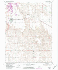
Historical Maps of Elwood Through Time
5 maps found
Featured Locations
Source Details
SourceU.S. Geological Survey
CopyrightPublic Domain