
1962 Map of Bertrand NW
USGS Topo · Published 1964About this map
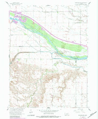
The braided channels of the Platte River dominate this early 1960s landscape, illustrating a complex riverine environment before extensive modern alteration. The map documents significant irrigation and hydroelectric infrastructure, such as the Phelps County Canal and a Powerplant positioned near the convergence of Dawson and Gosper counties. This era of development is further evidenced by the "under construction" status of Interstate 80, which traces a path just north of the river corridor.
Find a feature on this map
24 named features on this map. Tap any name to fly to it.
Don’t see what you’re looking for? This feature index may not catch every label — zoom into the map to look around manually.
Map Details
Editions of this 1962 Bertrand NW Map
2 editions found
Other maps of this area

1896 · Lexington
USGS Topo · 1:125,000

1899 · Lexington
USGS Topo · 1:125,000

1955 · Grand Island
USGS Topo · 1:250,000

1957 · Grand Island
USGS Topo · 1:250,000

1958 · Grand Island
USGS Topo · 1:250,000

1962 · Lexington West
USGS Topo · 1:24,000

1962 · Lexington SE
USGS Topo · 1:24,000

1962 · Lexington East
USGS Topo · 1:24,000
1962 · Overton
USGS Topo · 1:24,000
1970 · Bertrand SE
USGS Topo · 1:24,000